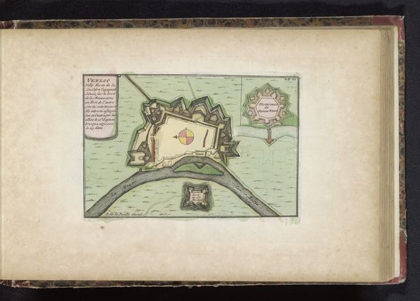
drawing, paper, watercolor
#
drawing
#
baroque
#
landscape
#
paper
#
watercolor
#
coloured pencil
#
cityscape
#
watercolor
Dimensions: height 116 mm, width 167 mm
Copyright: Rijks Museum: Open Domain
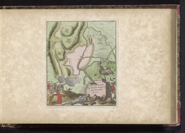
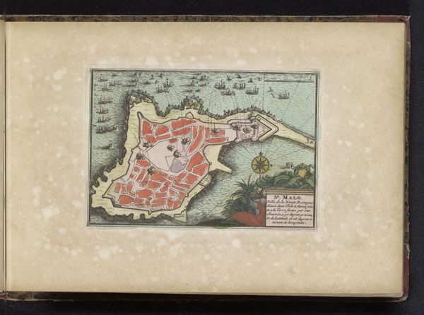
Editor: So, this is an anonymous drawing, “Plattegrond van Nantes,” likely from between 1700 and 1735. It's done with watercolor and colored pencil on paper, presenting a Baroque-style cityscape. What strikes me is how it seems to blend the practical with the picturesque. What are your thoughts on this piece? Curator: The blending of the practical with the picturesque is a keen observation. Maps like these served a distinct purpose beyond mere navigation. Considering the political climate of the time, in what ways might a carefully constructed image of a city reinforce a particular kind of power? Editor: Hmm… well, a map emphasizes control, doesn't it? I mean, to depict something so comprehensively suggests mastery over it, and Nantes was obviously an important city to the French crown. Curator: Precisely. Maps were tools of statecraft. The act of mapping, especially with an aesthetic sensibility as we see here, was about projecting authority. Do you notice the ways this image idealizes Nantes, beyond simply recording its layout? Editor: I see a sense of order… the city seems very planned and the colors are kind of calming. Also, the surrounding landscape looks fertile, so that gives a sense of prosperity and plenty. Curator: Exactly. These weren't just geographical documents. They were carefully crafted statements about a kingdom’s power, prosperity, and the order it imposed upon its domains. Consider too the intended audience: not the common citizen, but rather, powerful figures within the government and perhaps even foreign dignitaries. This image functioned as propaganda as much as cartography. Editor: So, seeing it as art almost masks its true intentions as a piece of strategic communication! That’s a whole different perspective to consider! Curator: Indeed! This opens up new avenues for understanding art as part of the social and political fabric of its time.
Comments
No comments
Be the first to comment and join the conversation on the ultimate creative platform.
More like this