painting, watercolor
#
baroque
#
painting
#
watercolor
#
cityscape
#
genre-painting
#
watercolor
Dimensions: height 188 mm, width 289 mm, height 532 mm, width 320 mm
Copyright: Rijks Museum: Open Domain
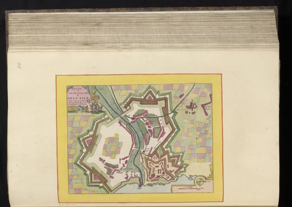
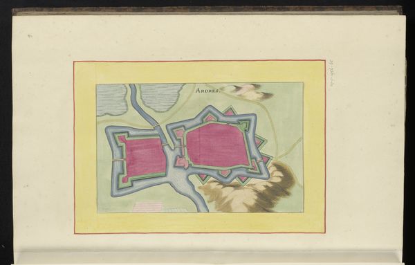
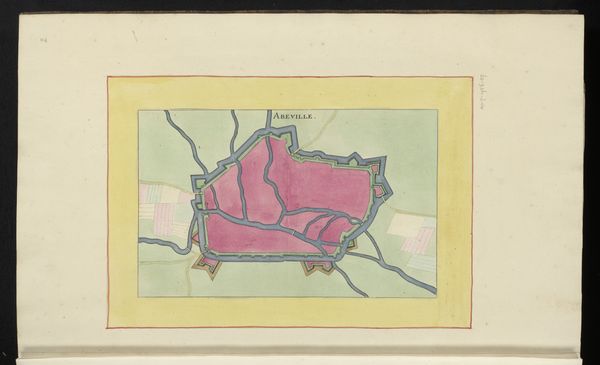
This anonymous plan of Chartres is rendered in pen and watercolor and gives us a bird’s-eye view of the city. The composition is neatly organized within a rectangular border, presenting a flattened perspective that emphasizes the city's structure and layout. The use of color is restrained yet effective, with the pink of the buildings contrasting against the green and tan of the surrounding landscape. The plan operates as a symbolic representation, translating the three-dimensional space of the city into a two-dimensional visual system. It invites us to consider how such representations mediate our understanding of space and power. The geometric structure and orthogonal lines reflect a rational approach to urban planning, emblematic of the desire to impose order on the chaotic reality of urban life. Note how the formal qualities of this plan, with its emphasis on geometric precision and structural clarity, reveal not just a practical tool for navigation but a visual statement about control, order, and the way knowledge is constructed through representation.
Comments
No comments
Be the first to comment and join the conversation on the ultimate creative platform.
More like this