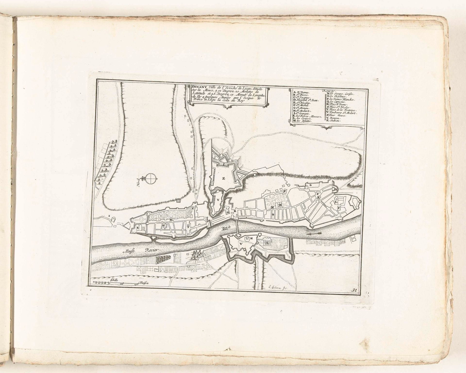
1702 - 1703
Plattegrond van Dinant, ca. 1702
Laurens Scherm
1671 - 1702Location
RijksmuseumListen to curator's interpretation
Curatorial notes
Editor: We’re looking at "Plattegrond van Dinant," a drawing in ink on paper from around 1702, held at the Rijksmuseum. It looks like a detailed map. What really strikes me is the geometric precision, yet it feels so…old. How do you interpret this work? Curator: This image resonates with layered cultural memory. Maps are rarely neutral. They're imbued with power. The act of mapping, especially of a fortified city like Dinant, speaks volumes. Note the prominence of the citadel overlooking the town – a visual symbol of authority and control. Consider how such imagery might shape perception and reinforce power dynamics for both the inhabitants and those who viewed the map. What does it evoke in you? Editor: It feels like a strategic tool, meant for military planning. The clean lines and detailed labels are like a blueprint. Is there more to it than just practical use? Curator: Absolutely. Think about the psychology of borders, of delineating space. What does it mean to define a city, to contain it within lines? Consider how the representation of space can either reassure or intimidate. The compass rose in the upper left - what does that symbolize to you? Editor: Direction, exploration... perhaps a promise of finding one's way? Curator: Indeed! And consider the emotional weight of “knowing” your place, visually affirmed by such cartography. It touches on fundamental human desires: security, understanding, perhaps even domination of the world around us. This map is far more than meets the eye, don't you agree? Editor: I do! I had not thought about maps holding such complex meanings. Now I see it as much more than a simple layout of a city. Curator: Precisely. It holds layers of intention and perception within its lines and symbols. The symbols of the engraver bring our own perceptions and history to the surface, showing their depth and how we all belong to history.