painting, print, etching
#
baroque
#
dutch-golden-age
#
painting
# print
#
etching
#
landscape
#
watercolor
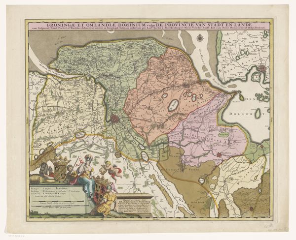
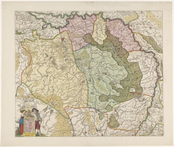
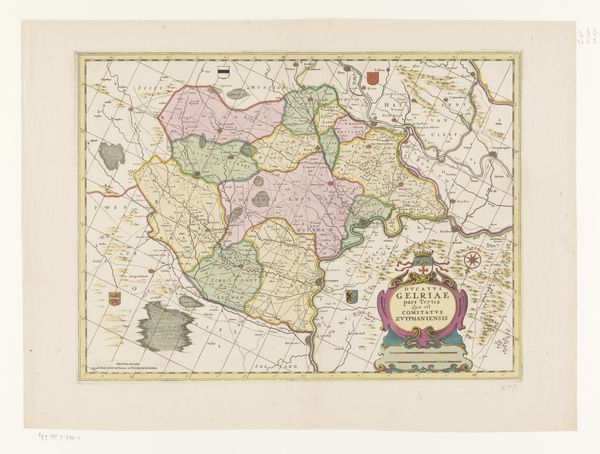
Dimensions: height 425 mm, width 536 mm
Copyright: Rijks Museum: Open Domain
This is an anonymous map of the Meierij van 's-Hertogenbosch held at the Rijksmuseum. The landscape is divided into a complex array of shapes and colours, where each field and boundary is rendered in soft hues of green, pink and brown. The map's structure, with its thin, dark lines delineating territories, creates a fragmented yet cohesive whole. The form of the map transcends its practical function; its cartographic precision alludes to broader ideas of control and order. The use of colour here is not merely representational; it also functions as a semiotic code, where each shade perhaps signifies different jurisdictions. The composition, therefore, suggests a world neatly compartmentalized, yet also interconnected. Note the decorative elements, like the cherubs at the top and the basket at the bottom. These are not just ornamental; they suggest a certain ideology, perhaps linking the act of mapping with power, divinity, and the bounty of the land. These elements destabilize the presumed objectivity of the map, turning it into a complex cultural artifact that invites ongoing interpretation.
Comments
No comments
Be the first to comment and join the conversation on the ultimate creative platform.
More like this