print, etching, engraving
# print
#
etching
#
etching
#
geometric
#
engraving
Dimensions: height 37 mm, width 444 mm
Copyright: Rijks Museum: Open Domain
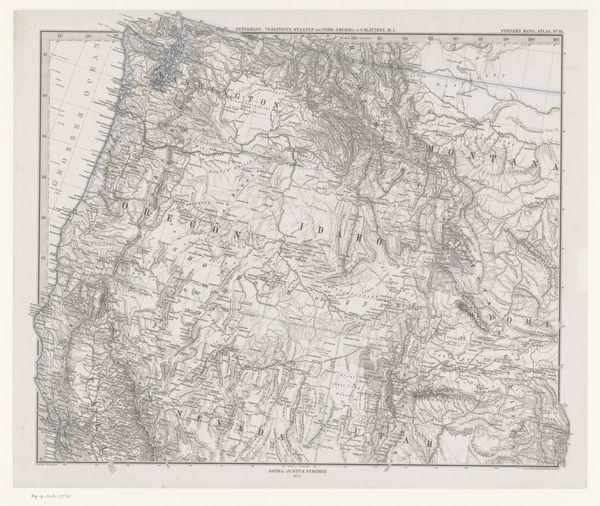
This is G. Metzeroth’s 1871 map of a portion of the United States, detailing the physical and political landscape of the era. Notice the careful delineation of territories and states, a symbolic act of claiming and ordering space. Maps, like religious icons, are powerful symbols. They represent not just geography, but also the human desire to understand and control our environment. Consider how ancient mariners used maps filled with sea monsters to represent the unknown dangers of the ocean. Even today, maps can be seen as tools of power, used to define borders and assert sovereignty. Looking at this map, one cannot help but think of the evolving nature of boundaries. They are constantly shifting, redrawn by the forces of politics, economics, and conflict. This constant re-evaluation of space reflects a deeper human anxiety about permanence and identity, a continuous attempt to anchor ourselves in a world of constant change.
Comments
No comments
Be the first to comment and join the conversation on the ultimate creative platform.
More like this