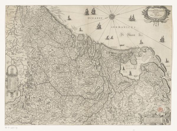
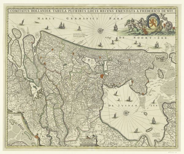
Kaart van de Republiek der Zeven Verenigde Nederlanden en omliggende gebieden before 1621
0:00
0:00
claesjanszvisscher
Rijksmuseum
graphic-art, print, engraving
#
graphic-art
# print
#
old engraving style
#
landscape
#
northern-renaissance
#
engraving
Dimensions: height 440 mm, width 542 mm
Copyright: Rijks Museum: Open Domain
Claes Jansz. Visscher made this map of the Republic of the Seven United Netherlands and surrounding areas, sometime between 1600 and 1650, using engraving. This map offers us a window into the world of the Dutch Republic during its Golden Age, a time marked by burgeoning trade and colonial expansion. What does it mean to map a place? What are the implications of defining borders? The Dutch Golden Age was a period of immense wealth, derived in no small part from the exploitation of enslaved people and colonized lands. As you gaze at this map, consider what is left unsaid. The focus on territorial control and trade routes obscures the human cost of this prosperity. The map becomes not just a representation of land, but also a symbol of power and the complex legacy of colonialism. This map is a historical artifact, and it invites us to reflect on the relationship between geography, power, and identity.
Comments
No comments
Be the first to comment and join the conversation on the ultimate creative platform.
More like this