print, engraving
#
aged paper
#
dutch-golden-age
# print
#
landscape
#
geometric
#
line
#
engraving
Dimensions: height 455 mm, width 547 mm
Copyright: Rijks Museum: Open Domain
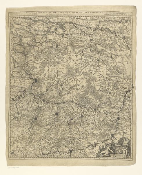
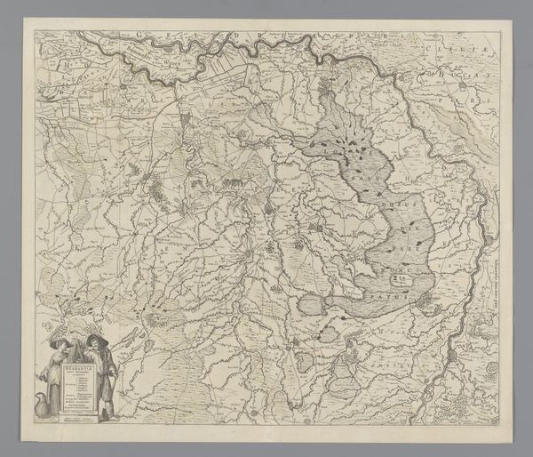
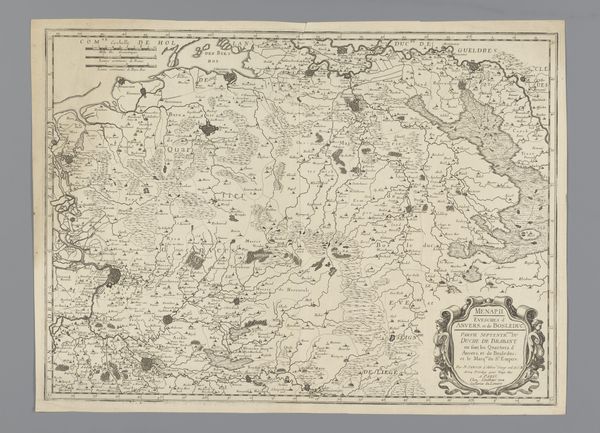
This is a map of the Prince-Bishopric of Liège, an intricate engraving of a bygone era. Look closely at the lower left corner. Two figures stand beside the title cartouche, one holds a measuring tool, symbols of science and cartography. These figures are not merely decorative; they carry the weight of human intellect and our yearning to understand the world. Their presence is reminiscent of similar figures found in classical atlases, embodiments of human curiosity. The map itself, with its detailed rendering of cities and rivers, reminds us of the psychological need to bring order to the chaos of the world. It is a manifestation of the collective desire to map out our existence. This act of mapping, the imposing of order, is a recurring motif throughout human history. It echoes in everything from ancient cosmologies to modern urban planning. Each attempt is a cyclical return to the primal act of understanding our place in the world.
Comments
No comments
Be the first to comment and join the conversation on the ultimate creative platform.
More like this