graphic-art, print, engraving
graphic-art
dutch-golden-age
geometric
engraving
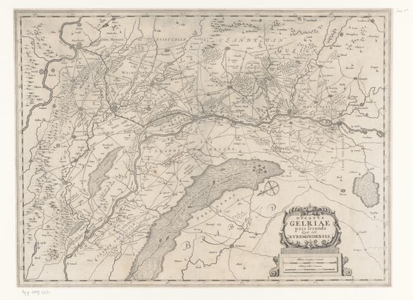
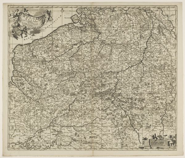
Dimensions: height 395 mm, width 505 mm
Copyright: Rijks Museum: Open Domain
This is a map of Gelderland, created by Abraham Goos. Although the exact date of creation is unknown, maps like these played a crucial role in shaping European identity and politics. Maps were more than just geographical tools; they were instruments of power. They helped states define their territories, administer their populations, and project their influence. In the 17th century Dutch Republic, a period of intense commercial and colonial expansion, cartography became a major industry. Amsterdam, where Goos was based, was at the heart of it. The map is covered with a grid system which allows for the exact positioning of locations. These allowed the Dutch to measure and assert control over their environment, reflecting a broader cultural emphasis on reason and order. To understand this map fully, we need to consult historical archives, study the political context of the time, and consider the social role of cartography. Only then can we appreciate its significance as a cultural artifact.
Comments
No comments
Be the first to comment and join the conversation on the ultimate creative platform.