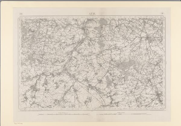
print, etching, paper
#
aged paper
#
natural shape and form
# print
#
etching
#
landscape
#
white palette
#
paper
#
cityscape
Dimensions: height 655 mm, width 931 mm
Copyright: Rijks Museum: Open Domain
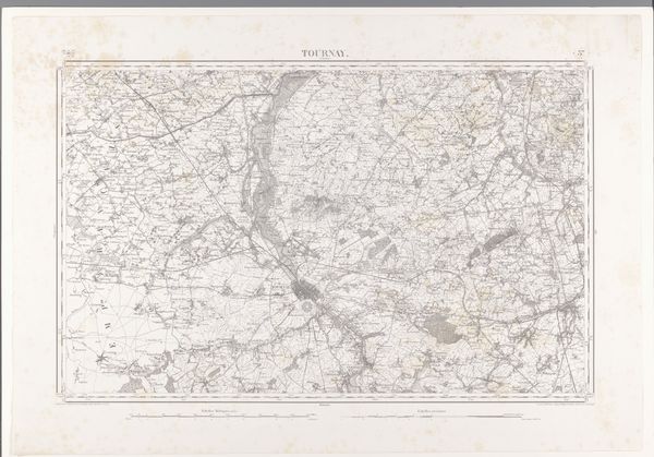
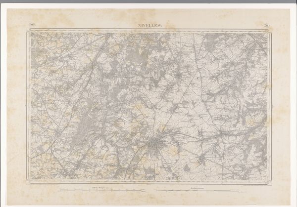
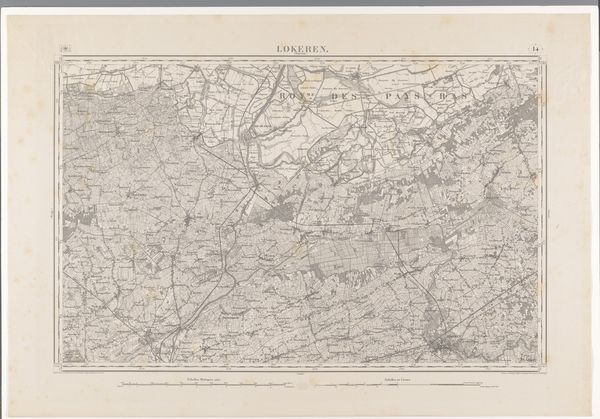
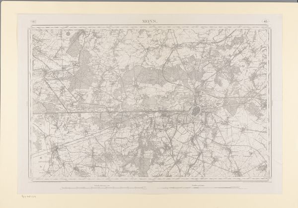
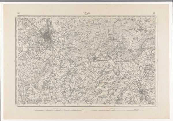
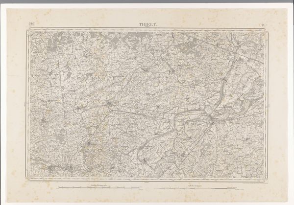
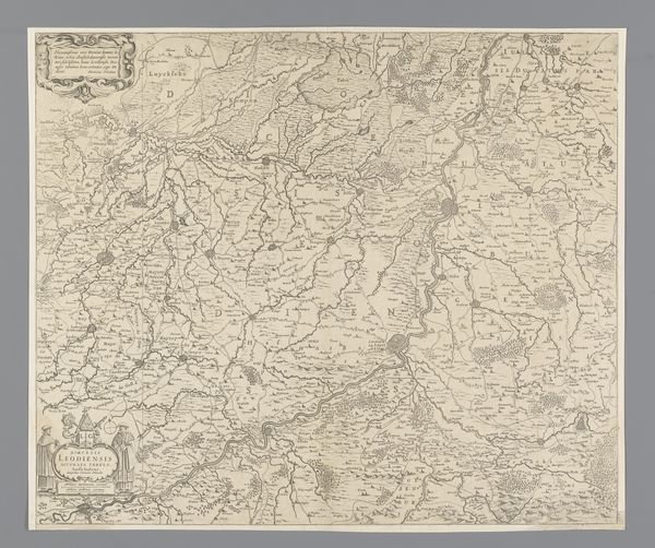
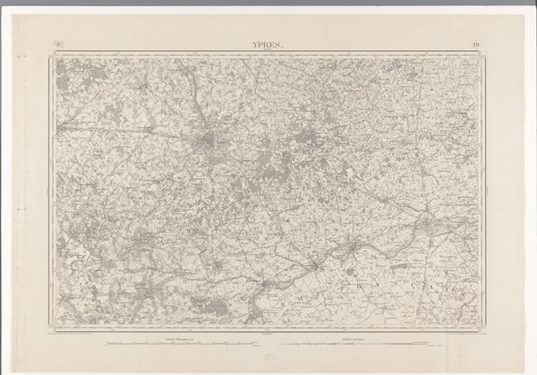
This is a map of the area around Kortrijk, made by various hands using printmaking techniques. The process of creating this map involves skilled labor, translating geographic data into a visual representation. Consider the material qualities of the paper itself: its texture and weight contribute to the map's overall presence as an object. The precision of the printed lines speaks to the engraver's expertise and time. The map may have been produced using techniques such as etching or lithography, with each stage demanding specialized knowledge and careful execution. Beyond its aesthetic qualities, this map highlights the intersection of craft, design, and industry in the context of cartography. It reflects a mode of production where skilled craftsmanship meets the demands of information dissemination. This piece serves as a reminder of the value of skill and labor embedded in everyday objects.
Comments
No comments
Be the first to comment and join the conversation on the ultimate creative platform.
More like this