print, engraving
#
baroque
# print
#
old engraving style
#
landscape
#
cityscape
#
engraving
Dimensions: height 399 mm, width 540 mm
Copyright: Rijks Museum: Open Domain
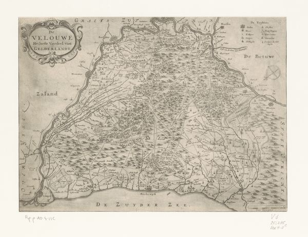
This anonymous map offers a detailed view of the County of Flanders. Dominating the visual space is the land itself, meticulously divided, its borders and settlements carefully inscribed. Yet, such maps are more than mere geographical documents; they serve as potent symbols of power and possession. Consider the symbolic nature of borders and boundaries that echo through time, from ancient Roman land surveys to modern geopolitical demarcations. These lines, seemingly simple, carry profound emotional weight, representing division, control, and the very idea of ownership. Think of the Roman god Terminus, protector of boundaries, whose presence ensured respect for these symbolic lines. This map serves as a mirror reflecting our deepest desires and anxieties concerning belonging and separation, reminding us that cartography is not just about place, but also about power.
Comments
No comments
Be the first to comment and join the conversation on the ultimate creative platform.
More like this