drawing, paper, ink
#
drawing
#
aged paper
#
toned paper
#
blue ink drawing
#
landscape
#
perspective
#
paper
#
personal sketchbook
#
ink
#
geometric
#
ancient-mediterranean
#
sketchbook drawing
#
cityscape
#
watercolour illustration
Dimensions: height 104 mm, width 151 mm, height 532 mm, width 320 mm
Copyright: Rijks Museum: Open Domain
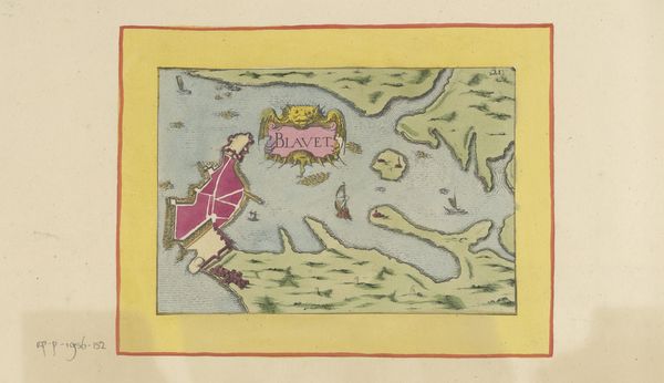
This is an anonymous rendering of ‘Plattegrond van Montargis.’ This detailed map offers us more than just a geographical layout; it is a cultural artifact reflecting the values and priorities of its time. Cartography has historically been intertwined with power, serving the interests of governance and control. The rigid, structured depiction of Montargis, with its clear boundaries and orderly arrangement, tells us something about the worldview of its creators and intended audience. This plan reflects a desire for order and control over the environment at a time when societal structures were deeply hierarchical. The map also leaves out the narratives and experiences of marginalized communities, such as women, peasants, and religious minorities, who lived within this geography. Consider how maps not only represent space, but also shape our understanding of who belongs, and who is excluded.
Comments
No comments
Be the first to comment and join the conversation on the ultimate creative platform.
More like this