drawing, print, paper, ink
#
drawing
#
baroque
#
ink paper printed
# print
#
landscape
#
paper
#
ink
#
cityscape
#
watercolour illustration
Dimensions: height 103 mm, width 150 mm, height 532 mm, width 320 mm
Copyright: Rijks Museum: Open Domain
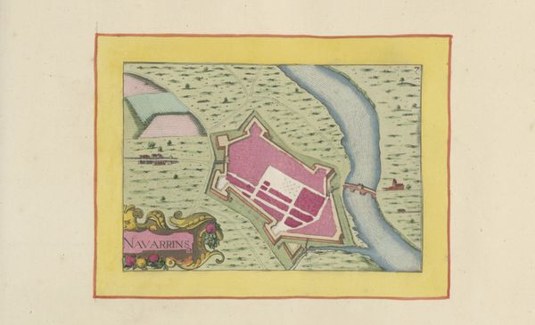
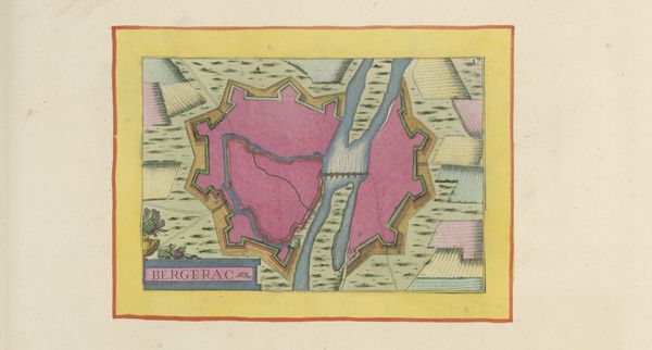
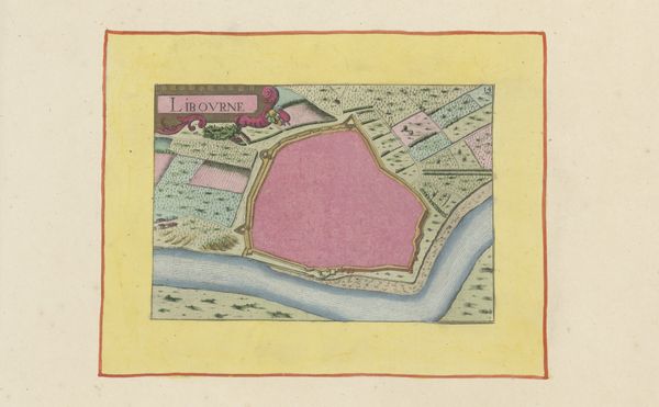
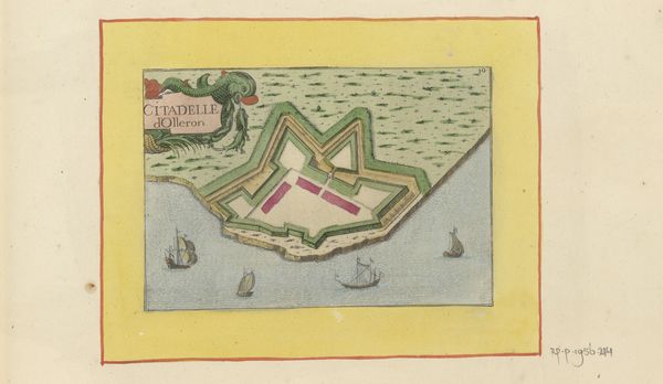
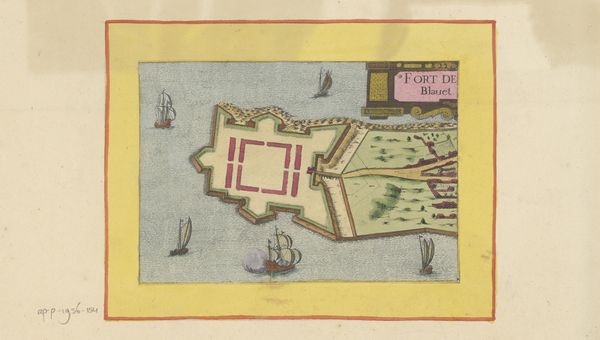
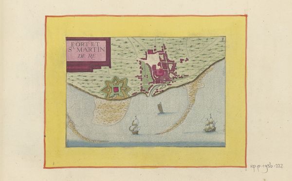
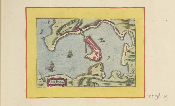
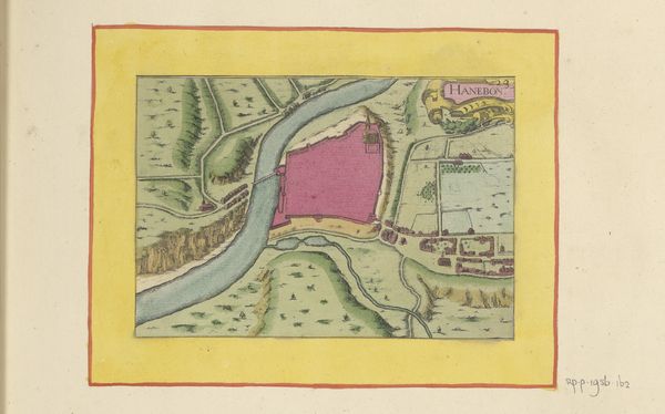
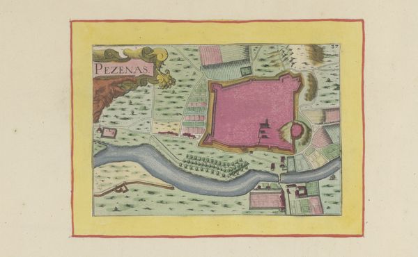
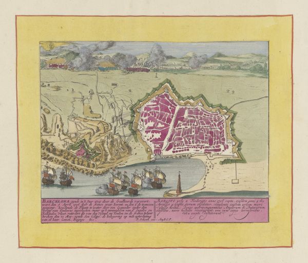
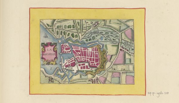
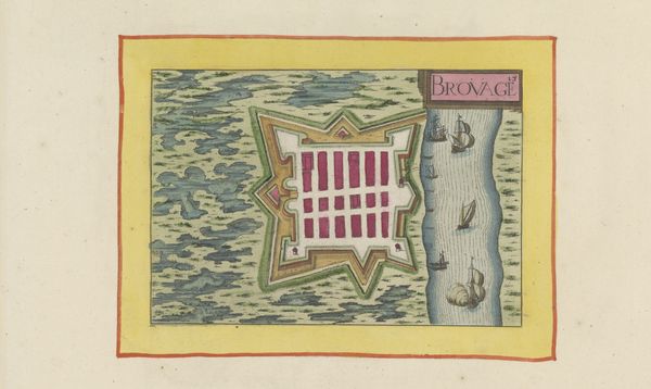
Editor: Here we have a “Vestingplattegrond van Roquecourbe,” or fortification map of Roquecourbe, dating back to 1638, made using ink on paper. It has the appearance of an illustrated town plan from above. It’s fascinating to look at! What stands out to you? Curator: The intricate detail achieved with ink on paper invites consideration of its means of production. This isn't just a landscape; it’s a representation born from specific social and material conditions. We need to consider who commissioned it, who drafted it, and for what purpose. Editor: That’s interesting, I hadn’t thought of that. Why would someone want such a detailed town plan? Curator: These kinds of maps were produced in times of military conflict and shifting territorial control, but beyond purely military strategy, the consumption and circulation of such an object is tied to class. Think about who possessed the resources to commission and understand it – and thus, who benefited from it. Do you notice any signs of that power encoded within this map? Editor: The scale, the detail of each structure – I guess that does require resources. So it's less about appreciating the landscape and more about understanding its place in a social and economic framework? Curator: Precisely. The landscape is reduced to an asset, documented, and consumed. What this map tells us isn’t simply about cartography, but about the society that produced it, where power dictated the very *seeing* of the land. Editor: That is such a great perspective. I guess I'm thinking more critically about these older artworks now. Thanks for sharing! Curator: My pleasure. It’s through examining the physical artifacts of production and consumption that we reveal art’s true value – or function, really – in society.
Comments
No comments
Be the first to comment and join the conversation on the ultimate creative platform.
More like this