drawing, paper, ink
#
drawing
#
landscape
#
paper
#
ink
#
geometric
#
cityscape
Dimensions: height 103 mm, width 149 mm, height 532 mm, width 320 mm
Copyright: Rijks Museum: Open Domain
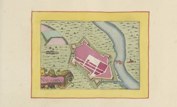
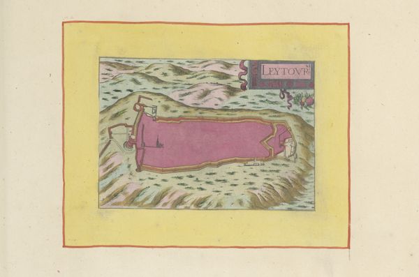
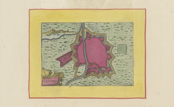
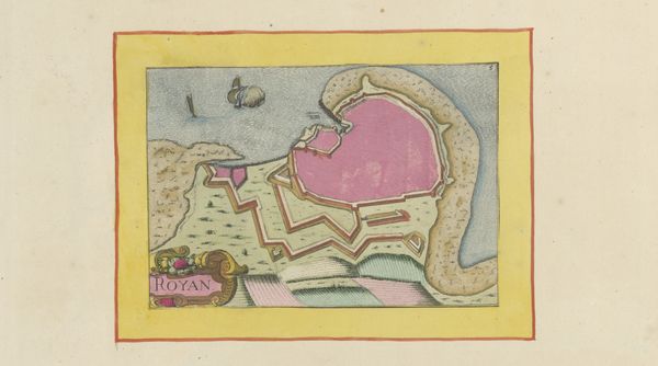
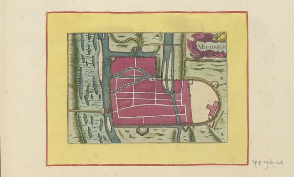
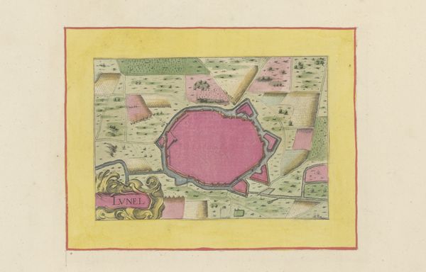
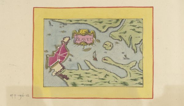
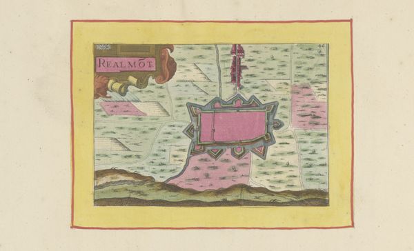
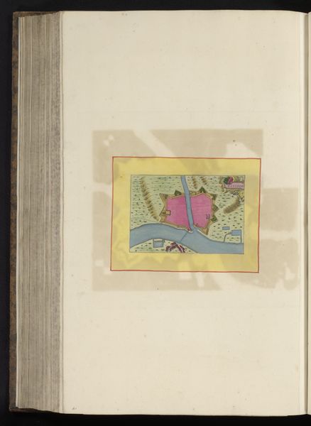
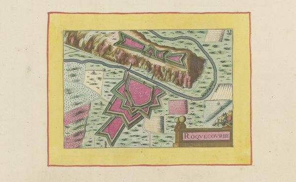
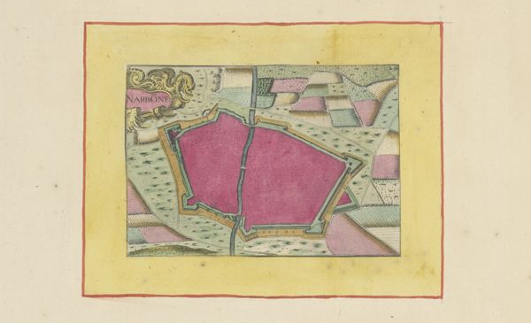
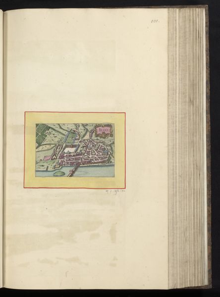
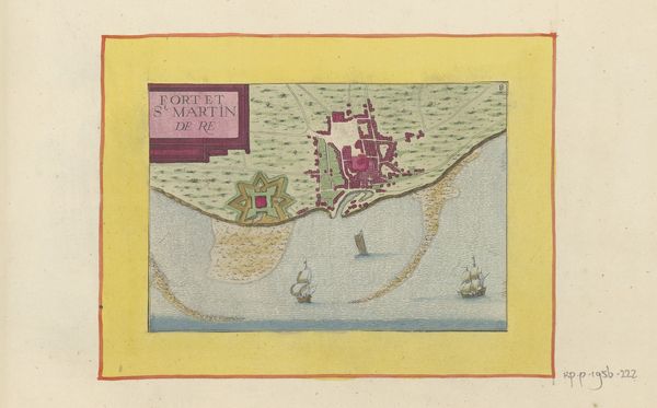
Curator: Before us is "Plattegrond van Nevers," a drawing created in 1638, using ink on paper. It's a city plan, or cityscape, rendered with geometric precision. Editor: First glance? Feels… both precise and fantastical. That pinkish-red hue gives the city a strange, almost edible quality, like a raspberry tart from above. Curator: That "edible quality" might come from the alchemical traditions prevalent at the time; color wasn't just aesthetic, it was deeply symbolic, linked to the materials and labor involved in its creation. Consider the trade routes and resource extraction required to obtain that specific pigment in the 17th century. Editor: Oh, definitely! You're right; thinking about the "recipe" for that ink does give it a whole other layer. And look at the line work! Each street is so carefully delineated, giving a sense of intense control. Is this about power, or about… pride in craftsmanship? Curator: Probably both. The geometric rendering emphasizes the imposition of order on the landscape. But don’t overlook the material conditions of its production. Ink, paper, drafting tools... these represent specific skill sets and manufacturing processes. Editor: So it's less about romanticizing the artisan, and more about understanding their *labor* within a complex economic structure. And I see how it depicts more than just bricks and mortar; it's trade, access, governance... like a blueprint for how a society organizes itself. The relationship between the river and the city also gives an additional piece of information about movement and access to the outside world. Curator: Exactly! It invites questions: Who commissioned it? Who would have used it? Was it about control, civic pride, strategic planning? I find myself pondering its dual purpose as both art object and functional tool. Editor: It does prompt a cascade of questions, doesn’t it? Looking at the map's neat borders makes you imagine what this picture conceals, or perhaps what the creator has selectively omitted! Thanks to these geometric depictions, this piece certainly opens my awareness about urbanization at the time. Curator: Agreed. It’s more than just a picture; it's a snapshot of power relations, technological capabilities, and artistic conventions, all rendered in ink and meticulously applied labor. Editor: It does help you consider how, then and even now, an art object represents and reinforces socio-economic structures! Thank you for bringing a new way to see city landscapes.
Comments
No comments
Be the first to comment and join the conversation on the ultimate creative platform.
More like this