painting, watercolor
#
dutch-golden-age
#
painting
#
landscape
#
watercolor
#
cityscape
#
watercolour illustration
#
watercolor
Dimensions: height 105 mm, width 151 mm, height 532 mm, width 320 mm
Copyright: Rijks Museum: Open Domain
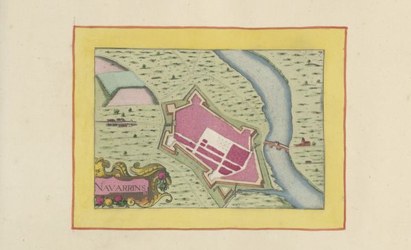
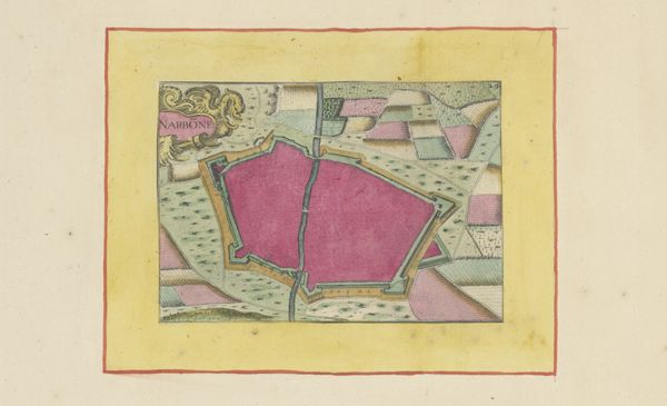
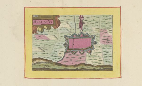
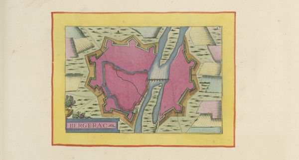
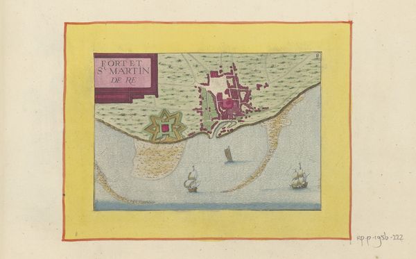
This is a hand-drawn map of Lunel, made by an anonymous artist, showing a fortified city amidst a patterned landscape. The dominant symbol here is the walled city, colored in a striking pink hue. The walls serve as a powerful icon of protection and order. Consider how fortified cities appear throughout history, from the walls of Jericho to medieval castles. They signify not only physical defense but also cultural identity and separation. This image reflects a time when city walls were crucial, defining the limits of civilization against the unknown. Now observe the carefully delineated fields surrounding the city. These motifs echo the human need to structure and control nature, a desire as old as agriculture itself. It’s a primal impulse, and the image reflects an emotional state of seeking safety and control. This map is not just a geographical depiction; it’s a layered cultural artifact, capturing a moment in the cyclical quest for security, which resonates across time.
Comments
No comments
Be the first to comment and join the conversation on the ultimate creative platform.
More like this