#
aged paper
#
toned paper
#
homemade paper
#
retro 'vintage design
#
personal sketchbook
#
sketchbook drawing
#
watercolour bleed
#
watercolour illustration
#
sketchbook art
#
watercolor
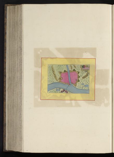
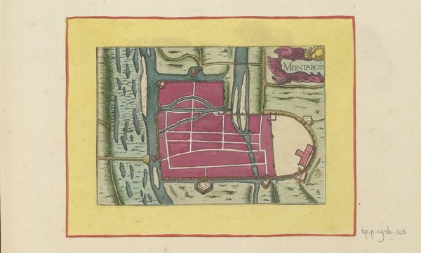
Dimensions: height 104 mm, width 150 mm, height 532 mm, width 320 mm
Copyright: Rijks Museum: Open Domain
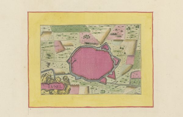
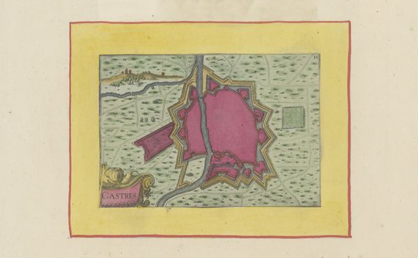
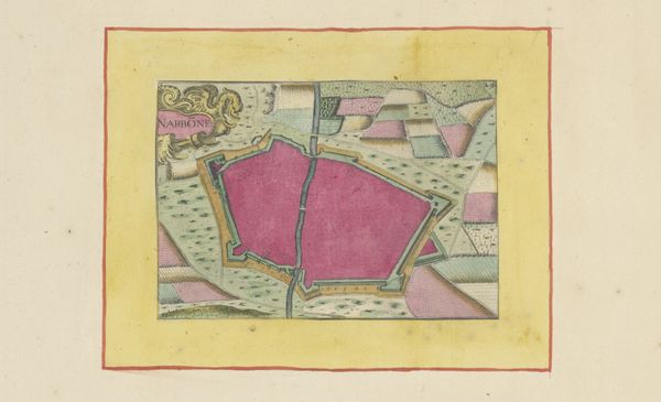
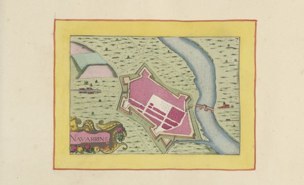
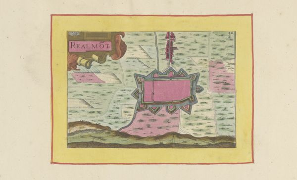
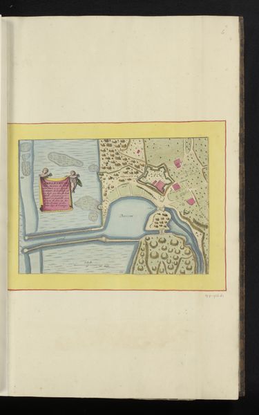
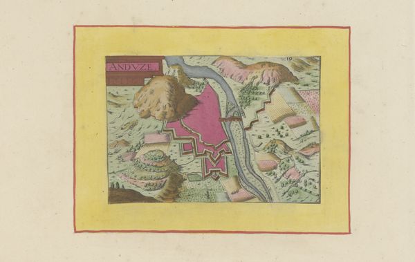
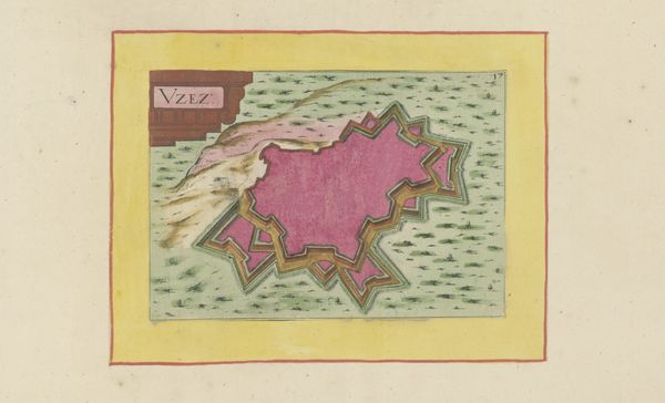
This anonymous plan of Royan presents us with a city rendered in the abstract, captured with ink and colour. The zig-zagging fortifications that surround the city are of particular interest, speaking to a period of conflict and defense. These fortifications are not unique to Royan; they echo the ancient walls of Jericho, the defensive structures of medieval castles, and even the trenches of the Great War. Across time, humanity has consistently sought protection through barriers, each iteration reflecting the anxieties and technological capabilities of its age. Here, the zig-zag pattern is an especially evocative motif. We see it repeated, not only in military architecture but also in nature, in the jagged peaks of mountains, and the course of rivers. Its subconscious resonance reminds us of nature's inherent unpredictability and the human desire to impose order and control over a chaotic world. It is no wonder, then, that we use this shape to protect ourselves, again and again.
Comments
No comments
Be the first to comment and join the conversation on the ultimate creative platform.
More like this