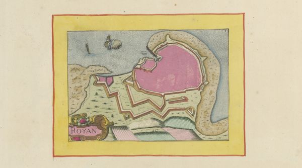
drawing, print, etching, paper
#
drawing
#
baroque
# print
#
etching
#
paper
#
cityscape
Dimensions: height 104 mm, width 150 mm, height 532 mm, width 320 mm
Copyright: Rijks Museum: Open Domain
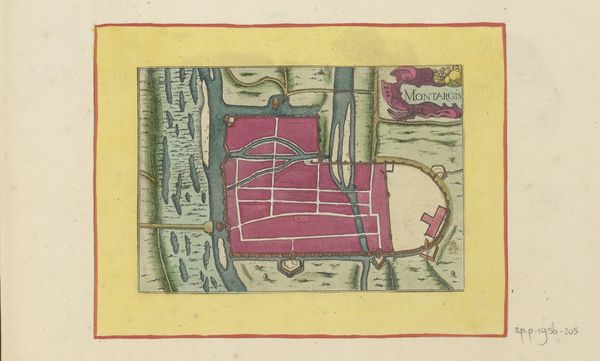
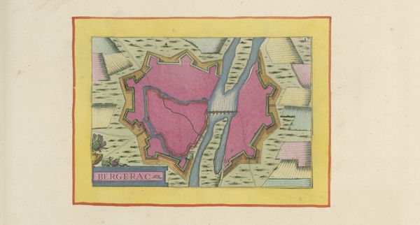
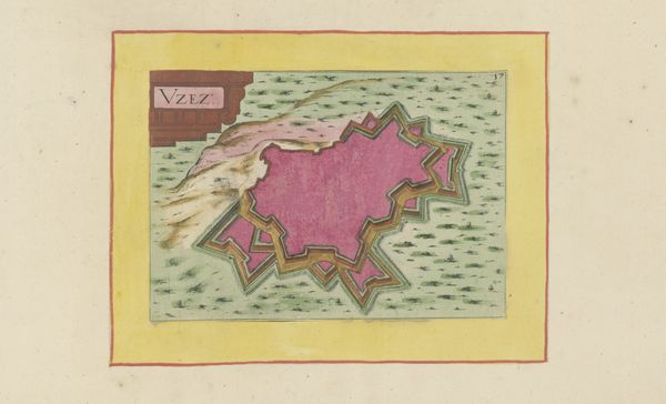
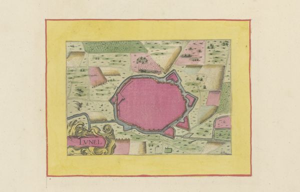
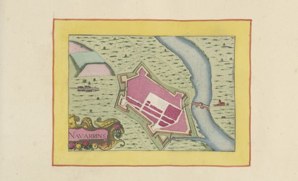
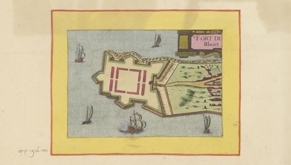
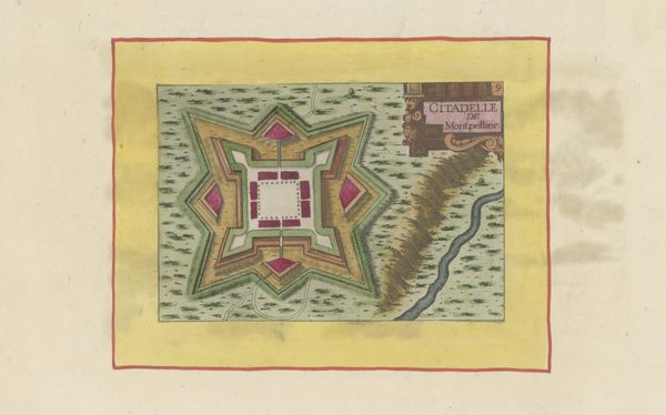
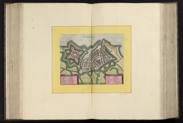
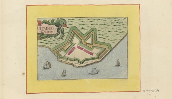
This map of Narbonne was made anonymously, using ink on paper. The artist used graphic tools, and likely had skills in drafting and cartography. The process begins with preparing the paper, followed by precise ink drawing, defining the city's fortifications and urban layout. The flat, geometric planes indicate a deliberate style, using a limited palette of colors. Notice how these enhance legibility, with the pink of the town contrasting with the green of the landscape. The creation of maps like these was crucial to the project of governance, providing a birds-eye view for strategic and administrative purposes. They are not objective records, but made according to specific conventions and priorities, and intended to influence how the depicted territory was perceived. Maps like this one challenge traditional distinctions between fine art and craft, reminding us that technical drawing, decorative practices, and social context are all crucial aspects of visual representation.
Comments
No comments
Be the first to comment and join the conversation on the ultimate creative platform.
More like this