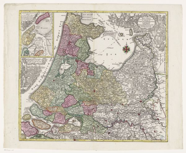
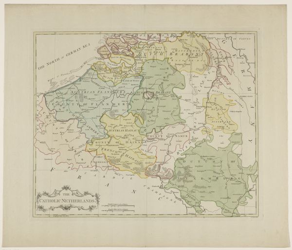
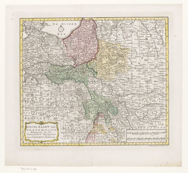
Kaart van de provincies Holland, Utrecht en Gelderland met de vestingen en forten gebouwd tijdens de oorlog in 1672 after 1672
0:00
0:00
print, etching
#
dutch-golden-age
# print
#
etching
#
landscape
#
etching
#
history-painting
Dimensions: height 401 mm, width 524 mm
Copyright: Rijks Museum: Open Domain
This is an undated map of the provinces of Holland, Utrecht, and Gelderland, charting fortifications built during the war of 1672. Though the mapmaker is unknown, its existence speaks volumes about the anxieties and strategies of the Dutch Republic during a period of intense conflict. The war of 1672, known as the "Disaster Year", was a time of immense pressure on the Netherlands, facing invasions from England, France and several German states. This map isn't just a geographical tool; it's a political document, highlighting the Republic’s defenses. The detailed depiction of fortifications reflects a society under siege, deeply concerned with territorial integrity and survival. In a time of war maps become tools of power and control, shaping not just the physical landscape but also the psychological space of a nation. It serves as a reminder of the ever-present tension between safety and vulnerability, between the lines we draw on maps and the fluid realities of human conflict.
Comments
No comments
Be the first to comment and join the conversation on the ultimate creative platform.
More like this