drawing, graphic-art, ink, engraving
#
drawing
#
graphic-art
#
landscape
#
ink
#
geometric
#
engraving
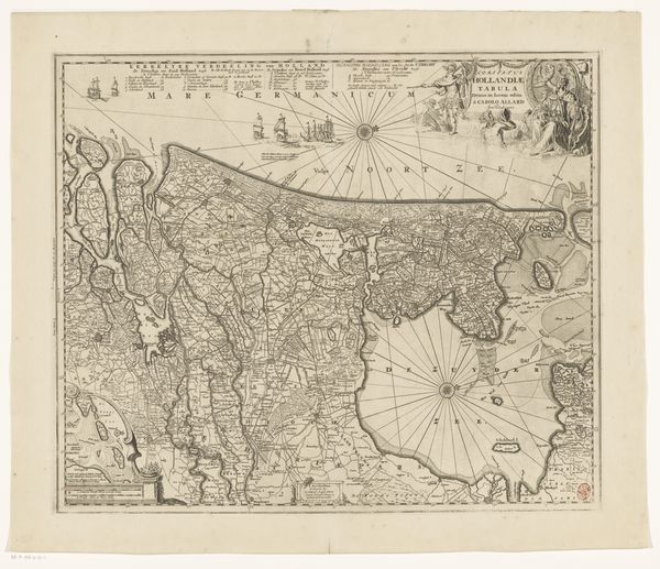
Dimensions: height 476 mm, width 565 mm
Copyright: Rijks Museum: Open Domain
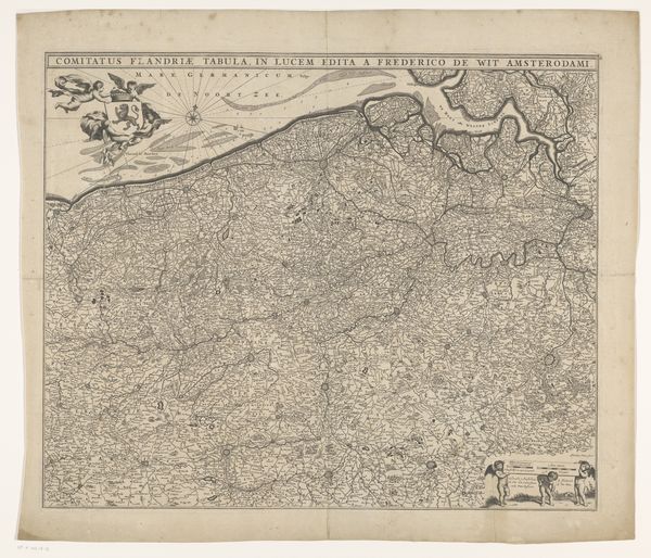
Carel Allard created this map of Groningen and Drenthe using copper engraving in the late 17th century. During this period, The Netherlands experienced the Dutch Golden Age, marked by economic prosperity and significant advancements in cartography. This map provides geographical data, but it also reflects the social and political landscape of the time. The detailed depiction of cities, waterways, and landscapes underscores the importance of these regions for trade and governance. Note the cartouche at the bottom of the map, crowded with figures emblematic of the region’s prosperity. Consider how maps like these contributed to forming identities and territories. They not only charted physical spaces but also defined political and cultural boundaries, shaping perceptions of belonging and otherness.
Comments
No comments
Be the first to comment and join the conversation on the ultimate creative platform.
More like this