graphic-art, print, etching, engraving
#
graphic-art
# print
#
etching
#
old engraving style
#
etching
#
geometric
#
engraving
Dimensions: height 409 mm, width 539 mm
Copyright: Rijks Museum: Open Domain
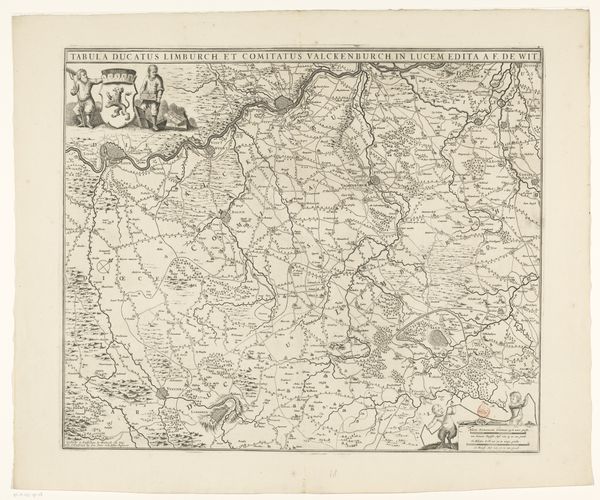
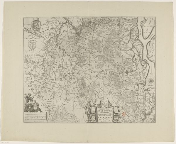
This is an uncolored engraving, "Map of Germany in Roman Times", by an anonymous artist. Notice how the map meticulously delineates territories, a powerful visual assertion of spatial control and understanding. This act of mapping has symbolic roots; consider the ancient Roman practice of "centuriation," dividing conquered lands into grids. This cartographic act wasn't just about ownership, but about imposing a Roman order onto the landscape, influencing both space and mind. This connects to earlier cosmological maps, such as the Babylonian world maps, where the act of representing the world was a claim to understanding and controlling it. Maps like this aren't mere representations; they become cultural artifacts imbued with political intent. Each line drawn, each name inscribed, reflects a complex interplay of power, knowledge, and cultural memory. This map is not just a geographical tool, but a historical and psychological document, revealing how cultures perceive, interpret, and ultimately shape their world. A powerful force that engages viewers on a deep, subconscious level. As we consider the maps non-linear, cyclical progression, we see it resurface, evolve, and take on new meanings in different historical contexts.
Comments
No comments
Be the first to comment and join the conversation on the ultimate creative platform.
More like this