drawing, print, etching, ink
#
drawing
#
baroque
# print
#
etching
#
landscape
#
ink
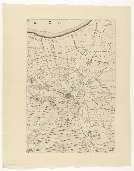
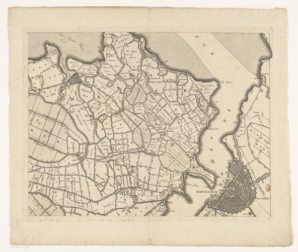
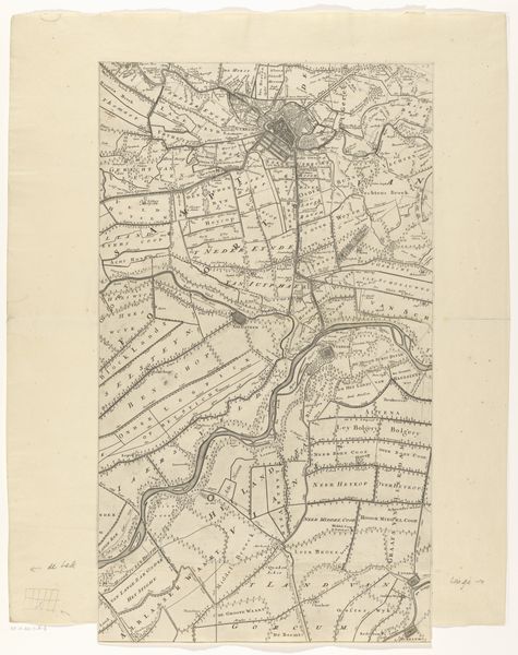
Dimensions: height 556 mm, width 372 mm
Copyright: Rijks Museum: Open Domain
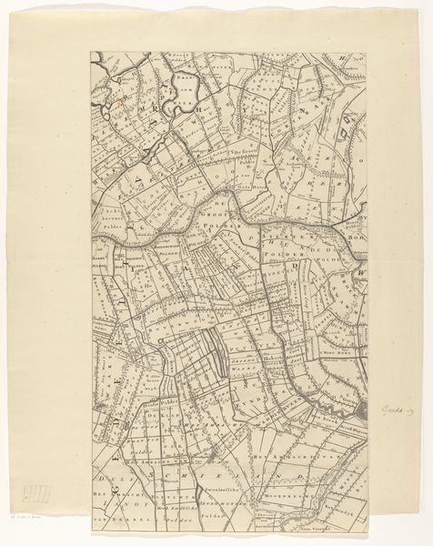
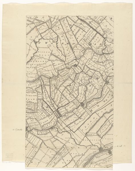
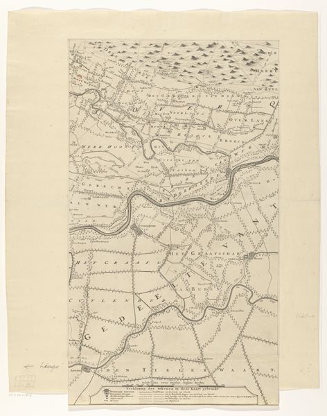
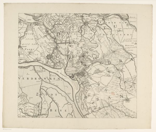
Editor: This is a section of "Kaart van de provincie Utrecht", made after 1696 by Thomas Doesburgh, a drawing using ink and etching. It feels very precise, almost sterile, but in a strangely comforting way. What do you make of this, beyond just a map? Curator: Beyond the practical… hmm. Imagine Doesburgh tracing these lines, each one a conscious decision, mapping not just land, but the very spirit of Utrecht. The precise details feel Baroque, right? A need to capture every nuance of the landscape. And those sweeping rivers – don’t they almost look like veins pumping life into the province? Editor: I see that. But why present a landscape with so much...detail? Curator: Perhaps a sense of ownership? Of understanding the lay of the land intimately. Consider also the rise of cartography in that era; mapping was power, knowledge, control. Think about how personal mapping is even now, on our phones. A record of where we’ve been, and maybe even where we're going, no? Doesburgh gives you his intimate feel for Utrecht. Editor: That makes sense. It's like he's saying, "This is *my* Utrecht, as I see it." And the way he draws it, almost like a portrait. Curator: Exactly! It’s an embrace, a very baroque embrace of a specific place in time. Editor: Wow, I came in thinking "old map", but now it feels almost like a love letter to a province. Curator: Isn't it lovely when art surprises us like that? Now, let's look at some of the individual linework...
Comments
No comments
Be the first to comment and join the conversation on the ultimate creative platform.
More like this