Curatorial notes
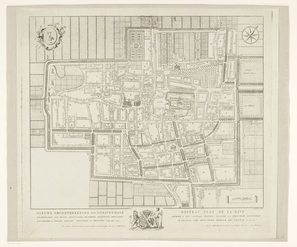
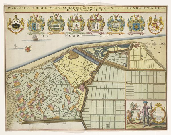
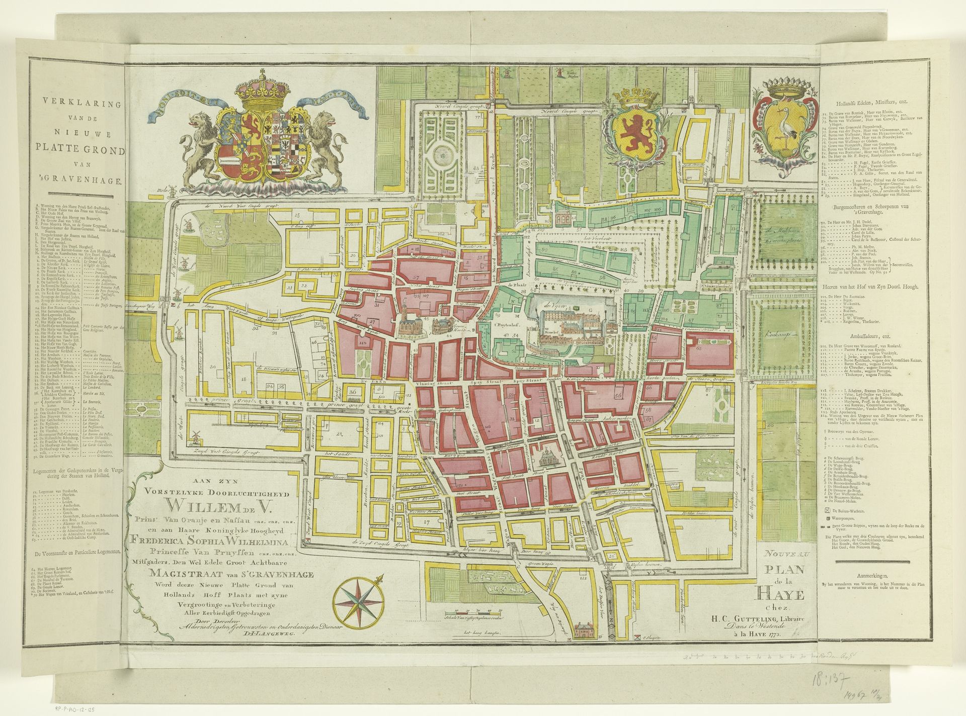
Editor: This is the "Plattegrond van Den Haag," a printed map of The Hague from 1773 by an anonymous artist. It's fascinating how a simple print can show so much detail. I’m curious, what does this map reveal about the city’s history and its people at the time? Curator: The map is more than just a navigational tool; it's a carefully constructed representation of power and order. Notice the prominent placement of the coat of arms at the top; what does that suggest to you about the intended audience and purpose? Editor: That it was aimed towards someone connected to royalty, perhaps showcasing their reach? It definitely emphasizes their dominion, the city planning appears really ordered too. Curator: Precisely. The geometric layout speaks to a desire for control, typical of the Baroque period’s emphasis on reason and structure. Think about the social implications of such planned urban spaces. Who benefits from this kind of organization, and who might be excluded? Editor: I guess that such order would mean greater efficiency for the government. It might mean some people being pushed to less valued locations as urbanism and the government favour the elite class? Curator: Exactly! Now, consider the level of detail afforded to certain buildings, presumably for officials; what does this selectivity suggest about the values and priorities of the society? Editor: It's all so clear now. This map really underlines the priorities, doesn't it. Thanks for outlining the socio-political implications of the map, it reveals so much. Curator: You're welcome. Reflecting on this "Plattegrond," we can appreciate how cartography isn't a neutral practice, but a powerful medium for shaping perceptions and reinforcing social hierarchies.