1773 - 1786
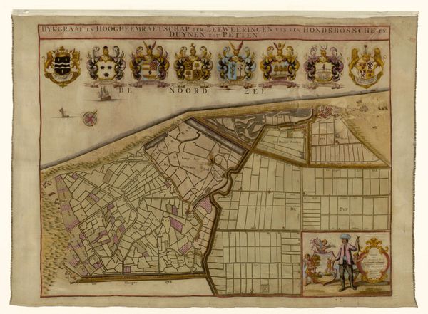
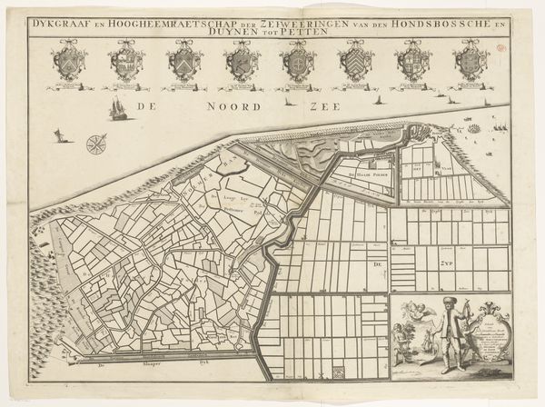
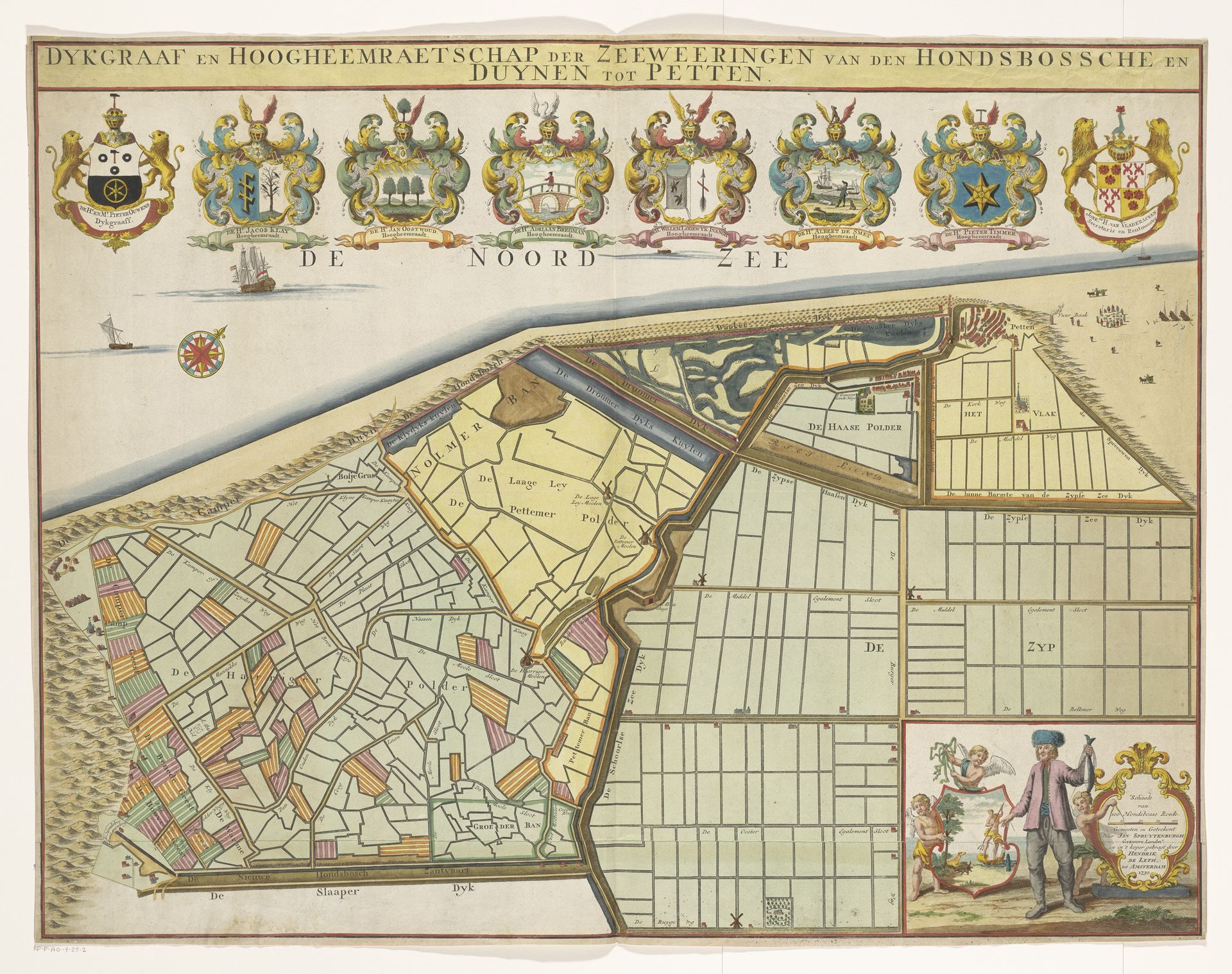
Kaart van de Hondsbossche Zeewering en de duinen bij Petten
Hendrik de Leth
1703 - 1766Location
RijksmuseumListen to curator's interpretation
Curatorial notes
Hendrik de Leth created this map of the Hondsbossche sea defenses and dunes near Petten, offering a glimpse into the 18th-century relationship between the Dutch and the sea. At this time the Dutch Republic was a major maritime power, deeply invested in trade and exploration, and reliant on sophisticated water management systems. The detailed rendering speaks to Dutch society’s reliance on technology and engineering to manage their environment, and the ever-present threat of the sea. Note the different coats of arms, signifying the collective governance required for such a complex operation. They also speak to the power structures inherent in land ownership and water control. Consider the man depicted at the bottom, flanked by cherubs: he is adorned with the tools of his trade, seemingly gazing out at his domain. The map is both a practical document and a symbolic representation of human intervention in the natural world. It reveals a relationship that is both powerful and precarious.