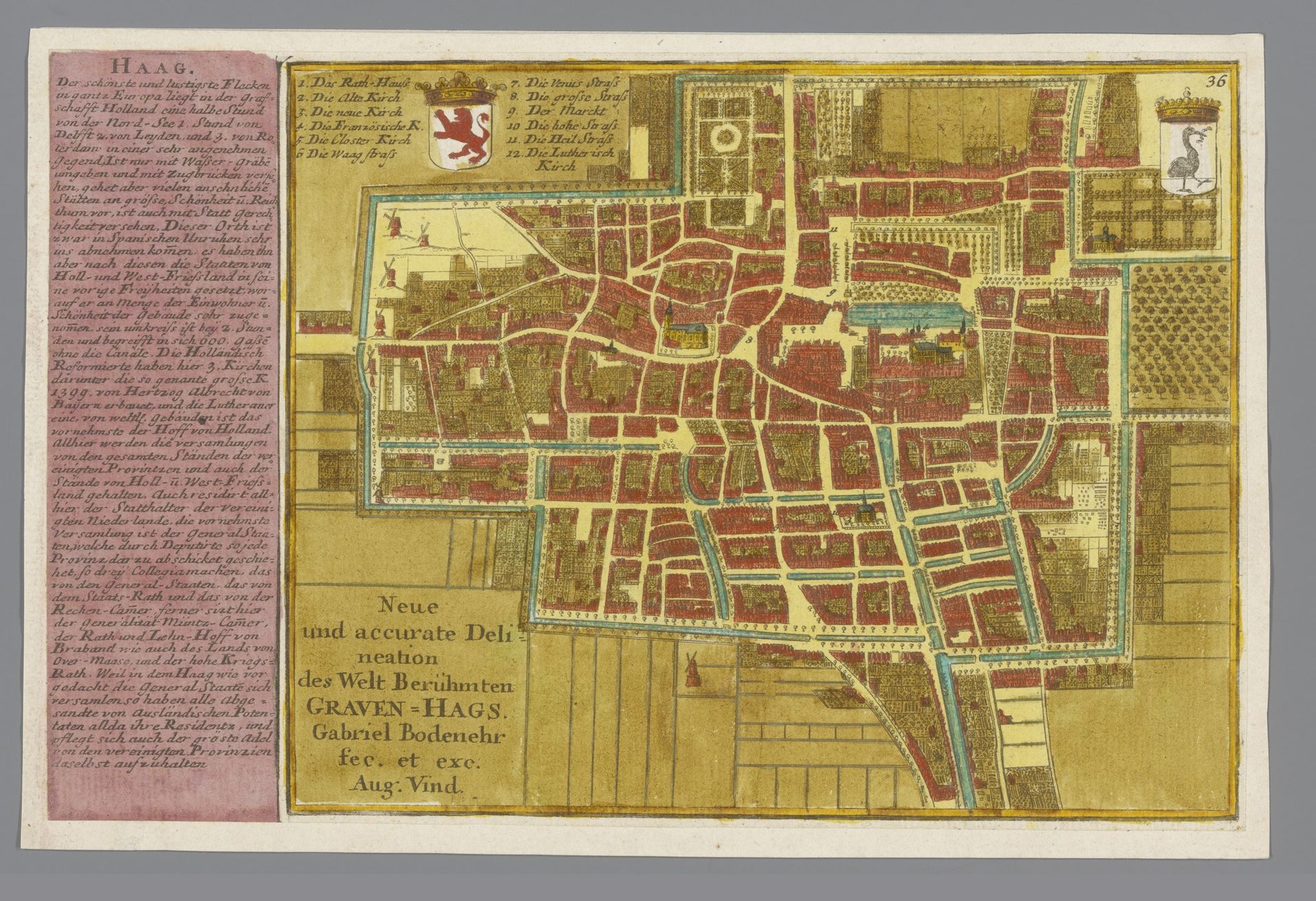
1683 - 1792
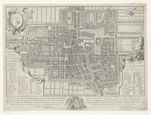
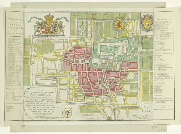
Plattegrond van Den Haag
Listen to curator's interpretation
Curatorial notes
This is Gabriel Bodenehr's ‘Plattegrond van Den Haag,’ a detailed map likely created around the late 17th or early 18th century. It uses engraving techniques and is hand-coloured to define the structural layout of the city. Notice how the map organizes the city's layout through a network of straight lines and geometric shapes. Roads and waterways form a grid, punctuated by the more organic forms of buildings and green spaces. The consistent use of colour creates a visual system, differentiating between built and natural environments. The map is not just a practical tool for navigation; it imposes a certain order on the world, reflecting contemporary desires to rationalize and control space. The map’s structure embodies a philosophy where the city is seen as a system, its different parts interconnected and functioning together. In viewing this work we are not merely seeing a representation of a place but a reflection of the structures that order our understanding of space and society.