lithograph, print, engraving
#
lithograph
# print
#
asian-art
#
landscape
#
geometric
#
romanticism
#
engraving
Dimensions: height 666 mm, width 817 mm
Copyright: Rijks Museum: Open Domain
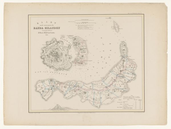
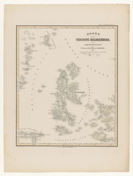
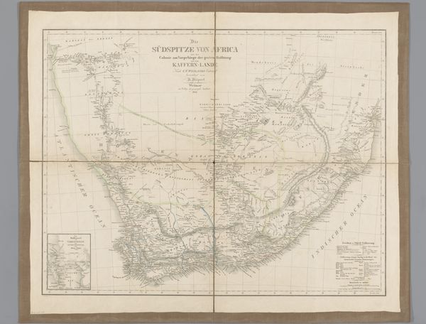
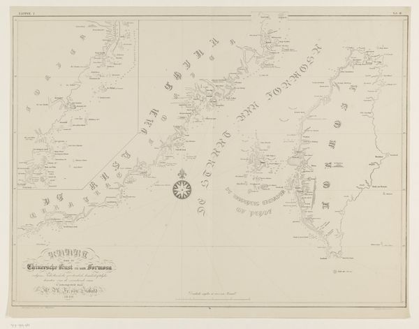
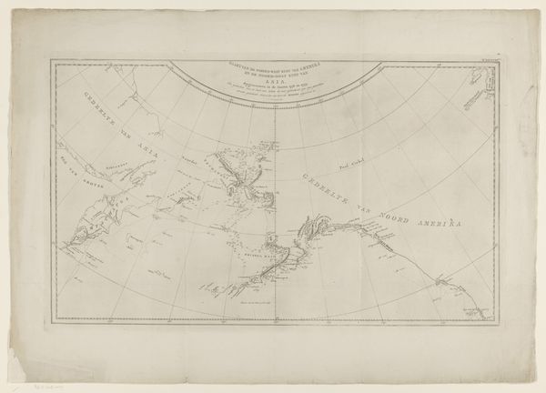
Alfred Bayly produced this map of Japan at a time of increasing western interest in the country. It encapsulates a moment when Japan was on the cusp of dramatic social and political change. This map, rendered with meticulous detail, reflects the era's fascination with geographic exploration and the mapping of previously ‘unknown’ territories. The cultural references are embedded in the Western gaze through which Japan is being depicted and classified. It highlights the intersection of cartography, colonialism, and the politics of representation. Bayly made this map in the early 1860s, just as the Meiji Restoration was beginning, after which Japan would rapidly modernize and open up to the world. Historical maps are never neutral; they are products of specific cultural, economic, and political contexts. As historians, we can investigate the map’s sources, the cartographer’s intentions, and the map's reception, gaining insights into the complex interplay between knowledge, power, and representation. Examining trading records or diplomatic correspondence could further reveal the map's role in facilitating trade or political negotiations.
Comments
No comments
Be the first to comment and join the conversation on the ultimate creative platform.
