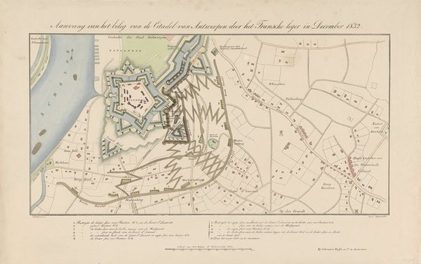
Plattegrond van de Citadel van Antwerpen bij het begin van het beleg door het Franse leger, 1832 1832 - 1833
0:00
0:00
anonymous
Rijksmuseum
drawing, print, etching
#
drawing
#
neoclacissism
# print
#
etching
#
romanticism
#
cityscape
#
history-painting
Dimensions: height 350 mm, width 516 mm
Copyright: Rijks Museum: Open Domain
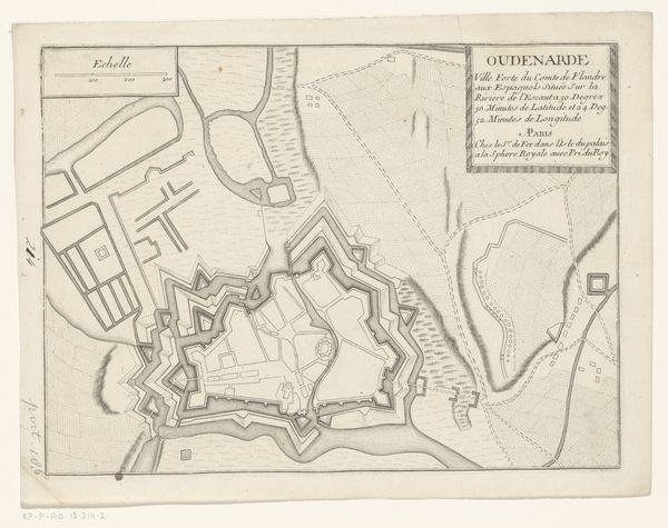
This anonymous map details the Citadel of Antwerp at the beginning of its siege by the French army in December 1832. This cartographic rendering is not just a technical depiction of the city's infrastructure but a window into the complex power dynamics of 19th-century Europe. Belgium had only recently declared independence from the Netherlands in 1830, so the siege of Antwerp was a pivotal moment in asserting its national identity and sovereignty. Who was included and excluded in this struggle for independence? The map also subtly reveals the social stratifications of the time by marking different zones and properties. While this is a bird's eye view of the military strategy, it’s impossible to ignore the human stories embedded in this landscape. What does it mean to map a territory, to claim it, to defend it? This map invites us to reflect on the act of surveying as an assertion of power and the lives caught in the crossfire of geopolitical struggles.
Comments
No comments
Be the first to comment and join the conversation on the ultimate creative platform.
More like this