drawing, ink, pen, engraving
#
drawing
#
baroque
#
pen sketch
#
ink
#
pen
#
cityscape
#
engraving
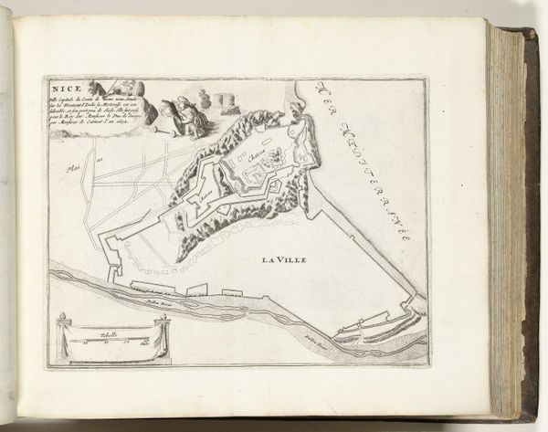
Dimensions: height 216 mm, width 275 mm
Copyright: Rijks Museum: Open Domain
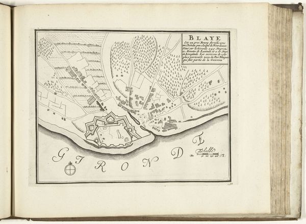
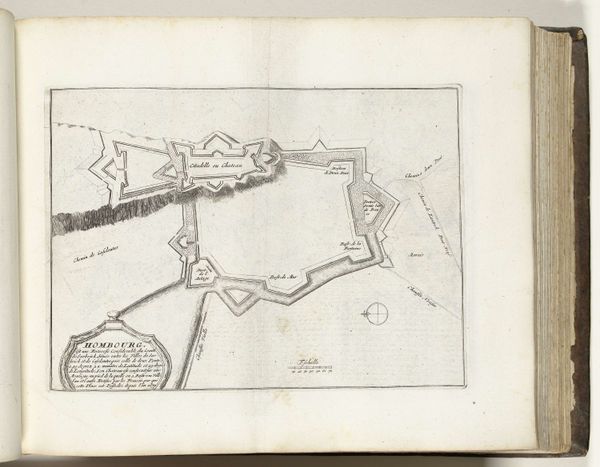
This is an anonymous map of Nice, made in 1726, printed in Paris, and now held at the Rijksmuseum. At the time this map was produced, Nice was part of the Kingdom of Savoy, a complex political landscape where the city served as a strategic point. Maps like this were not just geographical tools; they were instruments of power, defining territories and shaping perceptions of space. They were tools to visualize ownership, control, and strategic advantage during a period of intense political maneuvering. Consider the act of mapping itself. Who gets to draw the lines, and whose perspectives are prioritized? The precision of the map suggests a desire to impose order, reflecting the aspirations of those in power to govern and control. As you look at the map, think about the lives of those within its borders—how the physical space influenced their daily routines, their sense of identity, and their connections to the broader world. Reflect on how the personal and the political intersect.
Comments
No comments
Be the first to comment and join the conversation on the ultimate creative platform.
More like this