print, etching, engraving
baroque
etching
etching
cityscape
engraving
Dimensions: height 292 mm, width 346 mm
Copyright: Rijks Museum: Open Domain
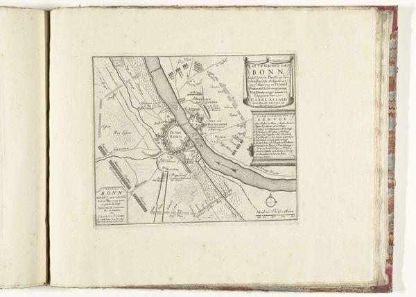
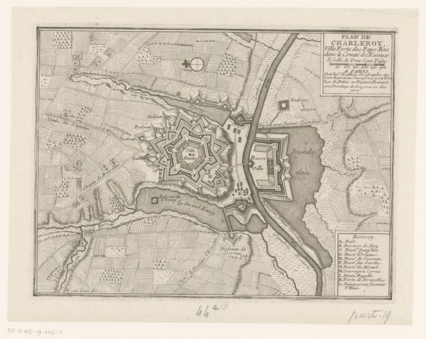
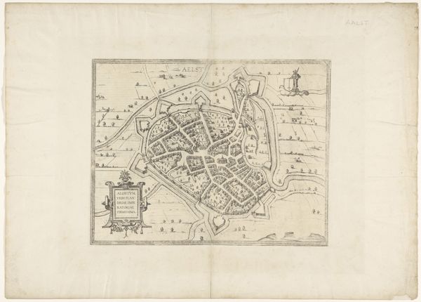
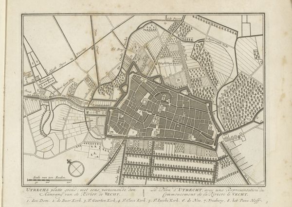
This is a map of Ostend, made by R. Benning, incised into a copper plate, and printed on paper. Maps like this one are a window into the world of early modern Europe. Look closely, and you can see the labor and skill that went into its production. Each line, each contour, carefully etched into the copper. This required a steady hand, and a deep understanding of cartography, and expertise in the chemical process of etching. The making of this map, and the many others like it, was a form of knowledge work, crucial to the development of capitalism. The ability to accurately represent space and place was essential for trade, navigation, and military strategy. In that sense, this isn't just a map; it's a manifestation of power. Consider the social context that made this possible. It reflects not only artistic skill, but also the economic and political forces that shaped the world at the time. It reminds us that art and craft are not separate from, but deeply embedded in, the wider world of labor, politics, and consumption.
Comments
No comments
Be the first to comment and join the conversation on the ultimate creative platform.