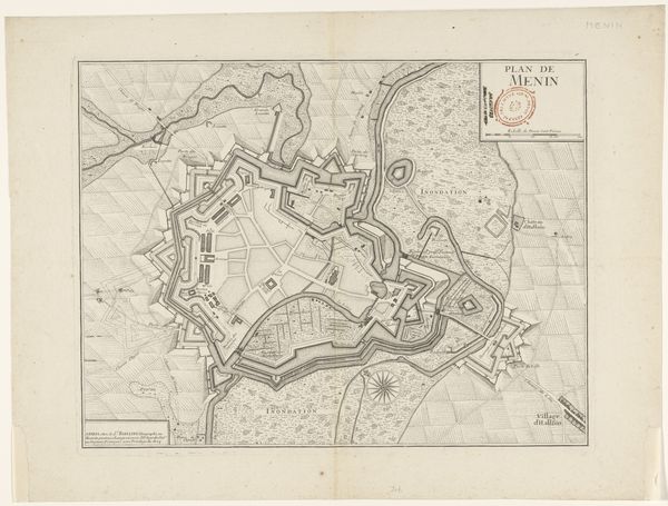
drawing, print, engraving
#
drawing
#
baroque
# print
#
cityscape
#
engraving
Dimensions: height 420 mm, width 530 mm
Copyright: Rijks Museum: Open Domain
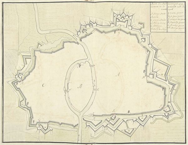
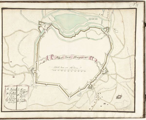
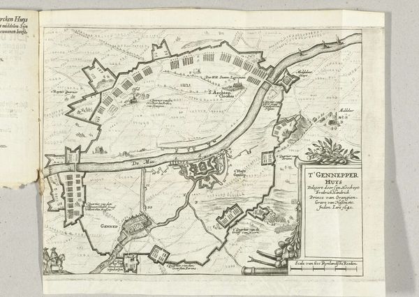
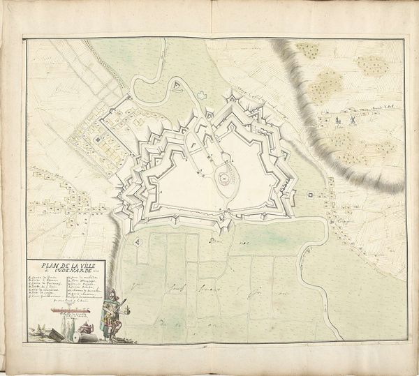
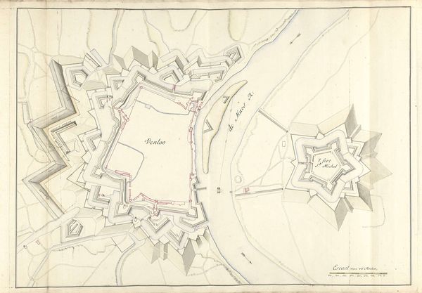
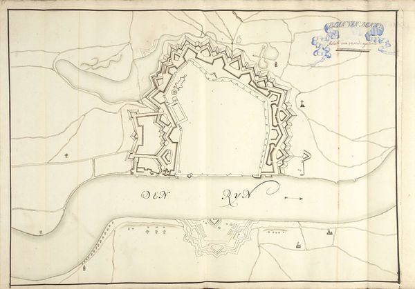
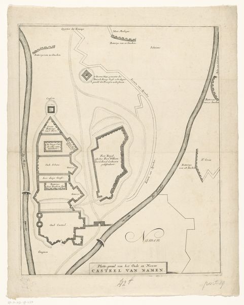
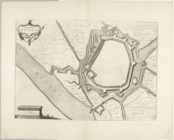
This is an anonymous map from 1592, depicting the siege of Steenwijk. This image offers a glimpse into the military strategies and geographical perspectives of the late 16th century. It's fascinating to consider what it meant to map territory during a time of intense conflict. What narratives were being constructed, and whose perspectives were prioritized? The map is not a neutral document. It represents power, control, and the desire to claim territory. As we look closer, we see the way communities were affected by the war, and it becomes more than just a battle plan. Consider how this map plays a role in shaping collective memory and national identity, turning historical events into heroic tales. It also raises difficult questions about the human cost of war and the impact on individual lives and communities.
Comments
No comments
Be the first to comment and join the conversation on the ultimate creative platform.
