Dimensions: height 371 mm, width 444 mm
Copyright: Rijks Museum: Open Domain
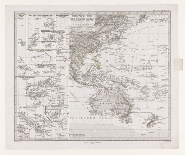
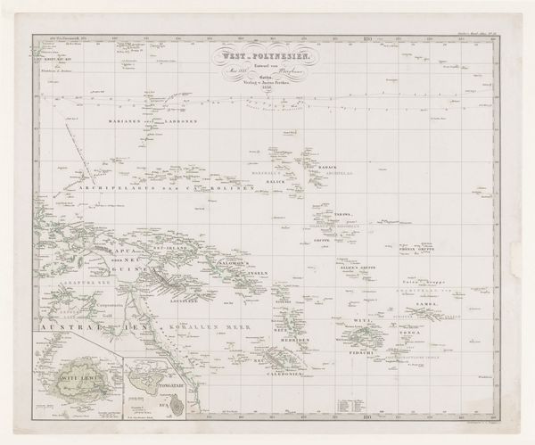
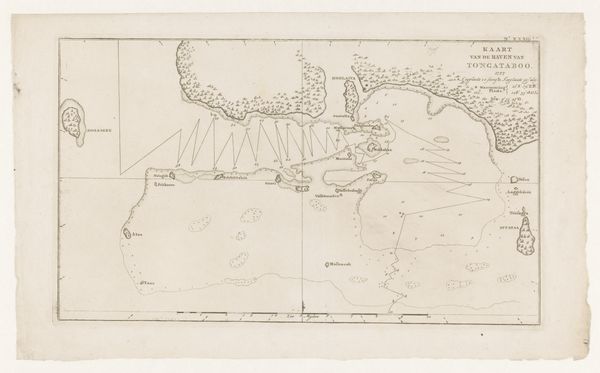
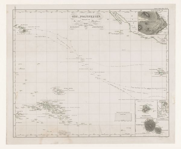
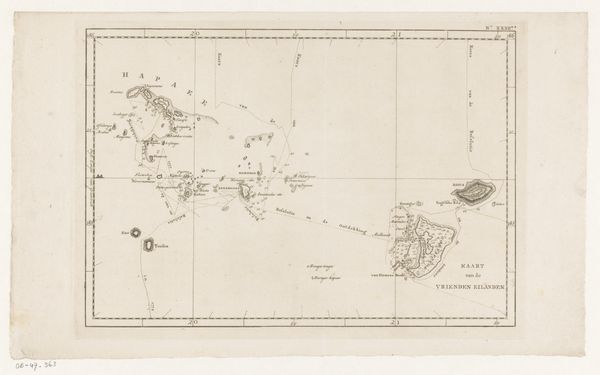
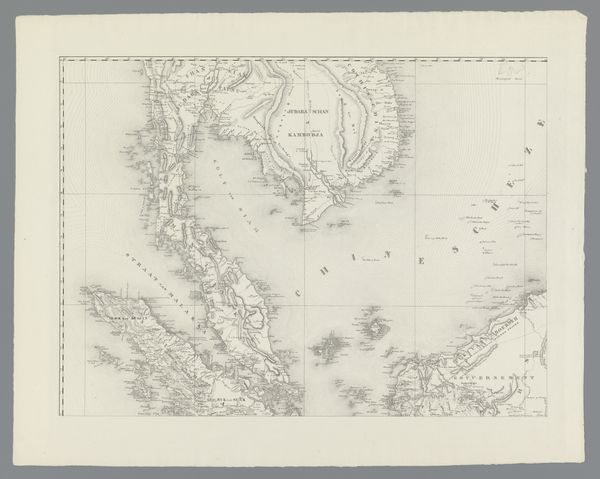
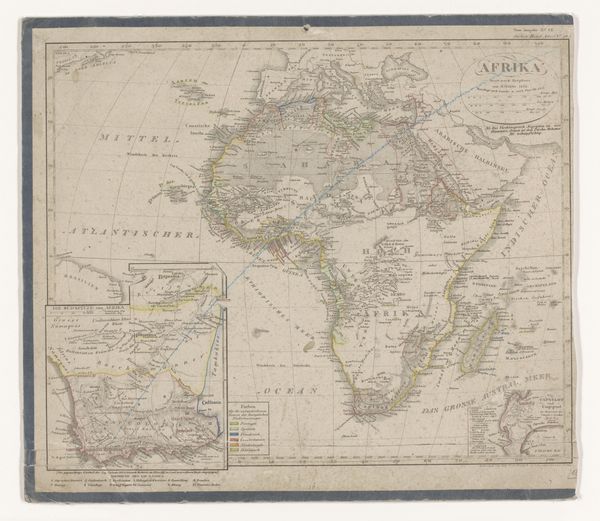
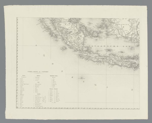
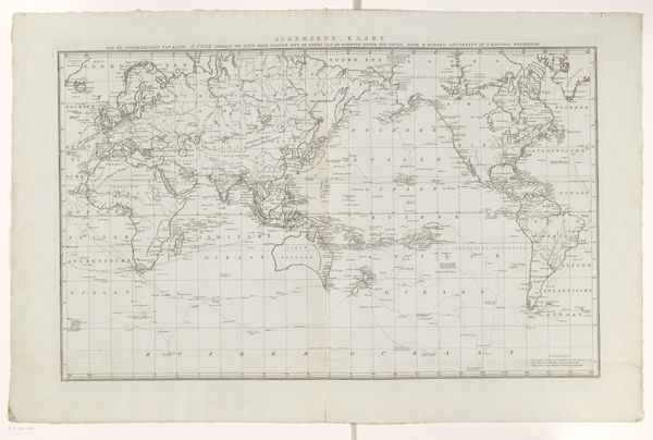
This is Carl Stier's map of Polynesia and the Pacific Ocean, including a part of North America. It depicts the world as it was known then, showcasing the islands dotting the vast ocean, each an isolated fragment within a larger, interconnected world. The map is a symbol of man's attempt to grasp the immensity of the unknown, a mirror reflecting the aspirations and limitations of human knowledge. Cartography itself is an ancient act, laden with symbolic weight. Think of Ptolemy's world map, a cornerstone of geographical knowledge for centuries, or the medieval mappa mundi, blending geographical fact with religious allegory. Maps are not mere representations; they are cultural artifacts, imbued with the values and worldview of their creators. The act of mapping is an assertion of control, a way to impose order on the chaos of the unknown. Yet, every map is also an admission of ignorance, a boundary beyond which lies the uncharted, the mysterious. It invites us to reflect on how we perceive and interact with the world around us, always incomplete and evolving.
Comments
No comments
Be the first to comment and join the conversation on the ultimate creative platform.
More like this