Dimensions: height 372 mm, width 445 mm
Copyright: Rijks Museum: Open Domain
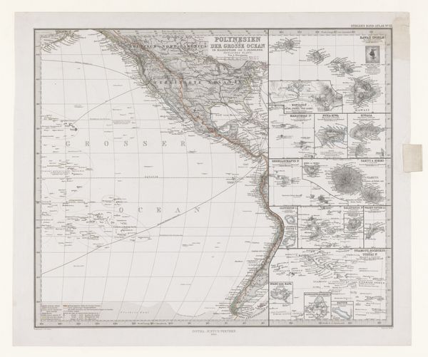
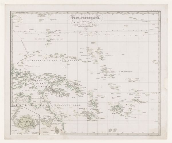
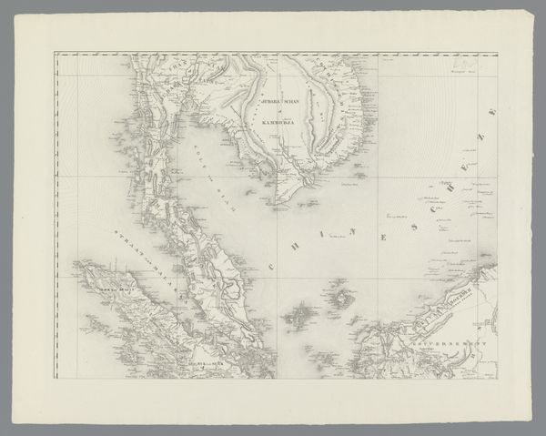
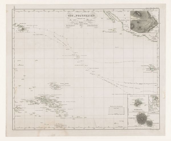
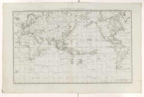
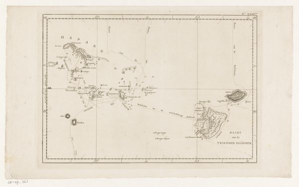
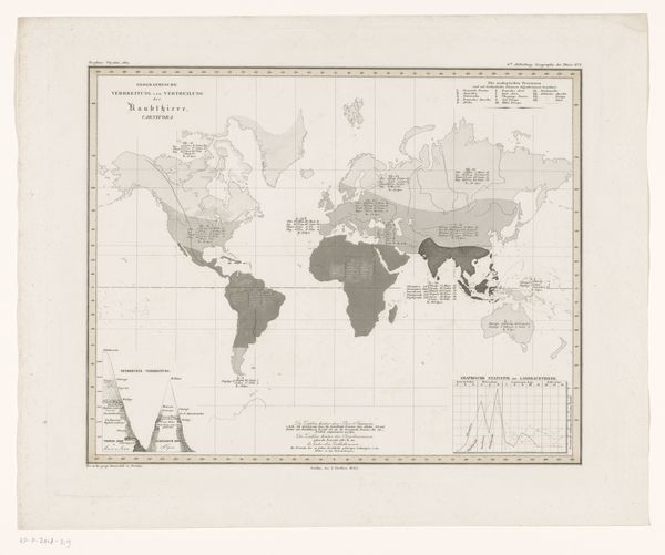
Curator: What catches my eye immediately is how delicate the lines are, like spiderwebs connecting all these far-flung islands. It feels like a forgotten dream of exploration. Editor: Indeed. We're looking at a print from 1869 titled "Kaart van Polynesië en de Grote Oceaan met Australië en een deel van Azië"—a map of Polynesia and the Pacific Ocean including Australia and part of Asia. The creator was Carl Stier, who worked with etching and engraving techniques. It's quite a feat to condense such a vast area onto a single sheet. Curator: "Dream" is apt, isn't it? Look at how cartography renders reality. Islands are presented as discrete units, when they really functioned as crossroads of ancient trade routes. There is such authority embedded in the perspective of a map, wouldn't you say? Editor: Absolutely. A map doesn’t just show places; it shows power and perspective. It reflects how Europeans viewed and understood these distant lands in the 19th century – both the thrill of discovery and an urge to categorize and control. The detailed insets depicting clusters of islands… it almost gives a sense of possession. Curator: That detail emphasizes an effort to catalogue these places, a gesture of cultural mastery through the tools of science, as it was perceived at the time. I find the blank spaces on the map—sections that probably were unmapped or uncharted then—utterly enchanting; those blanks become invitations to reflect upon what the concept of a "complete" map truly entails. Editor: Yes, those gaps hint at untold stories and undiscovered frontiers. The very act of mapping – deciding what to include and what to omit – speaks volumes. In a sense, every map becomes a self-portrait of its maker. Curator: It certainly becomes a palimpsest layered with the anxieties, dreams and assumptions of the age. These delicate lines, these precise delineations also mask a more brutal history, that of colonialism and imposed systems of knowledge. The ocean becomes, literally, a vast chessboard. Editor: What a thought-provoking piece, Carl Stier's print isn't simply a geographical tool. It invites reflection on how we shape, understand, and perhaps unintentionally distort the world around us through representation. Curator: Yes, a stark reminder that our perception shapes reality. Editor: And reality continuously pushes the boundaries of perception!
Comments
No comments
Be the first to comment and join the conversation on the ultimate creative platform.
More like this