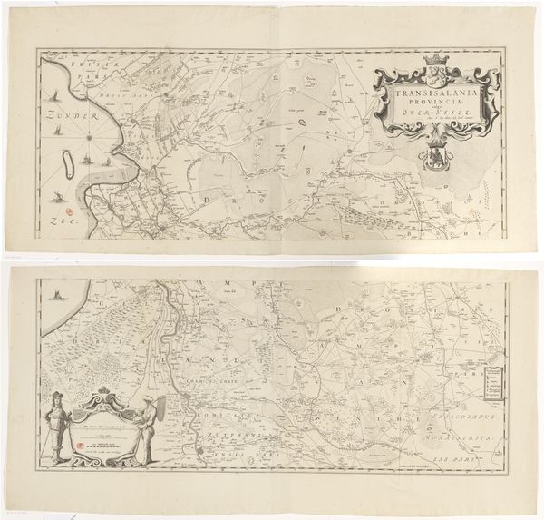
graphic-art, print, paper, engraving
#
graphic-art
#
dutch-golden-age
# print
#
landscape
#
paper
#
geometric
#
orientalism
#
engraving
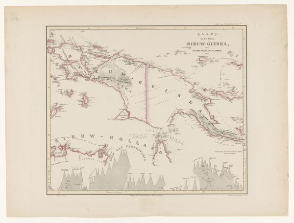
Dimensions: height 500 mm, width 670 mm
Copyright: Rijks Museum: Open Domain
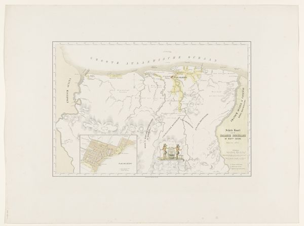
Curator: This is a fascinating 19th-century engraving. It's entitled "Kaart van de Nederlandse Antillen," a map of the Dutch Antilles, dating from around 1860-1862. The artist was Gerard Voorduin. Editor: My initial thought? Distance. The map isn’t just charting islands; it feels like a deliberate attempt to contain something vast, exotic… even dreams of a "new" world. I mean, what feelings would be aroused while pouring over this chart for days on end? Curator: Exactly! The engraving technique itself speaks to that desire for control and precision. Think of the labour involved in etching those lines, meticulously representing coastlines, currents… Every choice – the paper, the ink, the act of printing – signifies a certain approach to knowledge. Editor: And who consumes this? Not sailors; maybe their investors? I am struck by the colours and rendering—there's a softness here that’s so interesting, especially for a utilitarian object meant to describe land. Is it romanticizing the colonial project, presenting it more idyllic than it might have been in reality? Curator: Possibly, but I see something more grounded too. Look at the typography. It’s functional. And the layout. Its main objective, of course, was navigation and administration, and that dictates its aesthetic. Editor: Perhaps, but aesthetics always communicate! And consider the history layered into this artifact. Made during a period of shifting imperial powers, growing commerce… it wasn’t just charting a geographic area; it’s mapping power. Are the delicate curves not just an artistic form to the map-makers, but to the viewers/explorers the edge of uncharted territory? Curator: Very well put! We also have to consider the material limitations that could've existed for Voorduin, while also reflecting on the technological capacity of the time for mapmaking to come to the island. These methods affect the quality of output of artwork of this type. Editor: Right! A great image like this allows one to envision, dream of faraway lands. Curator: Yes. I feel that it's a reminder to constantly contextualise artistic works. Every brushstroke—or in this case, engraving—reflects larger societal currents, economic forces, or whatever one can analyze the output of as art or craft. Editor: I'll go with dreams, currents, and uncharted waters today.
Comments
No comments
Be the first to comment and join the conversation on the ultimate creative platform.
More like this