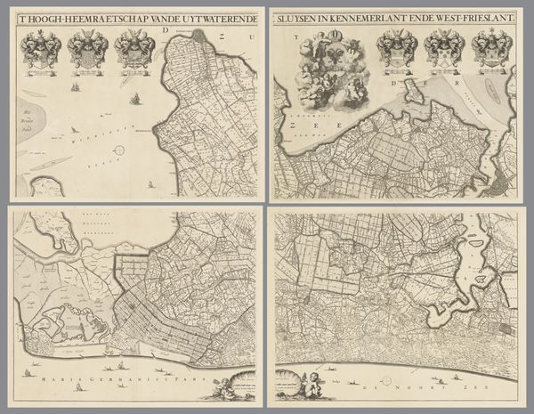
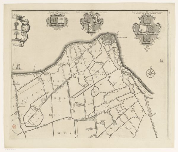
Kaart van het dijkgraafschap van de Vier Noorder Koggen, bestaande uit vier delen 1731
0:00
0:00
hendrikdeleth
Rijksmuseum
print, paper, engraving
#
baroque
#
dutch-golden-age
# print
#
landscape
#
paper
#
genre-painting
#
engraving
Dimensions: height 949 mm, width 1165 mm
Copyright: Rijks Museum: Open Domain
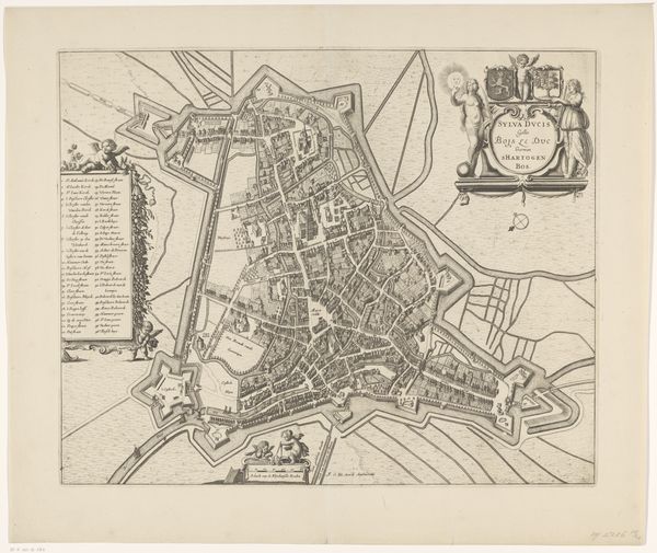
Hendrik de Leth created this undated map of the ‘dijkgraafschap’ using engraving techniques across four sections. The composition is dominated by the linear structure of land divisions, rendered with a precise, almost geometric quality. Observe how the topographical representation uses line and form, to provide an ostensibly objective view of the region. However, this is complicated by decorative elements like heraldic symbols and allegorical scenes. These additions disrupt the clean lines, introducing a layer of symbolism that challenges a purely utilitarian reading. The contrast in styles creates a semiotic tension. De Leth appears to be engaging with the emerging scientific rationalism while also clinging to symbolic representations of power and prosperity. Note how the map’s aesthetic elements, such as the detailed engravings of figures and crests, function as signs within a larger cultural and political framework. This map can be seen not just as geographical data, but also as a visual statement.
Comments
No comments
Be the first to comment and join the conversation on the ultimate creative platform.
More like this