drawing, print, etching
#
drawing
#
map drawing
#
dutch-golden-age
# print
#
etching
#
landscape
#
etching
#
cityscape
Dimensions: height 522 mm, width 748 mm
Copyright: Rijks Museum: Open Domain
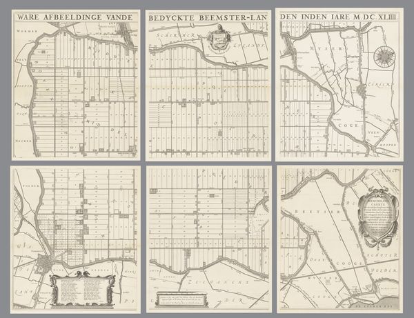
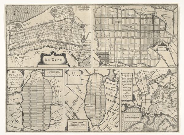
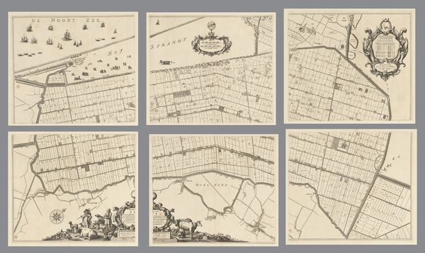
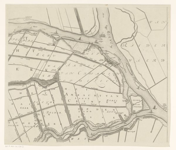
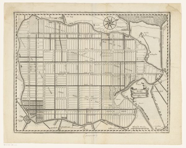
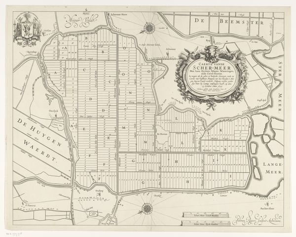
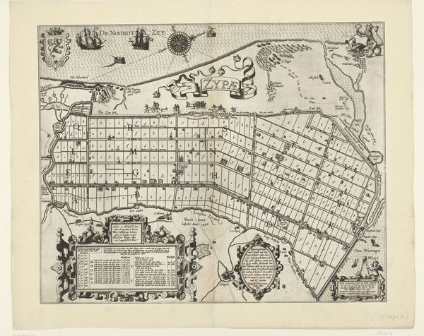
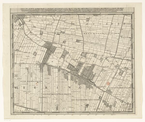
Editor: Here we have “Kaart van de Beemster,” a map of the Beemster polder created around 1612-1620. It's a drawing, an etching, a print, so there’s a real layering of materials. It's fascinating how a functional object like a map becomes something beautiful in its own right. What can you tell me about it? Curator: Well, look closely at this "functional object," as you call it. We’re not just looking at a representation of land; we’re looking at the product of immense human labor and investment. Polders like the Beemster were, and are, entirely artificial landscapes. It's important to remember the environmental manipulation that underpins Dutch prosperity, which demanded massive inputs of capital and manpower. Consider how the grid system itself mirrors a rationalization and commodification of land. Editor: So, you're saying it’s not just a map but evidence of intense labor and a changed landscape? The grid signifying control? Curator: Precisely! The very act of draining the land, dividing it into plots, and etching this onto a plate – what statements are these processes making? These straight lines and divisions speak volumes about ownership, control, and the transformation of nature into a resource. Editor: I see. So, by looking at the materials and techniques, we can understand the historical context of land use and ownership. I guess I had considered that maps might be made from locally available materials, reflecting specific ecological conditions... But the social context didn't cross my mind! Curator: Exactly! We see the landscape itself as a produced thing. What materials are readily available, how they’re worked and whose labour transforms them? It’s all linked, and reveals much about early modern Dutch society. Editor: Okay, that really makes me think differently about this! Seeing it not just as art or even cartography, but as the result of intense effort and social will – thank you for widening my view.
Comments
No comments
Be the first to comment and join the conversation on the ultimate creative platform.
More like this