About this artwork
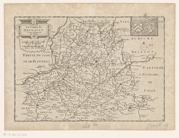
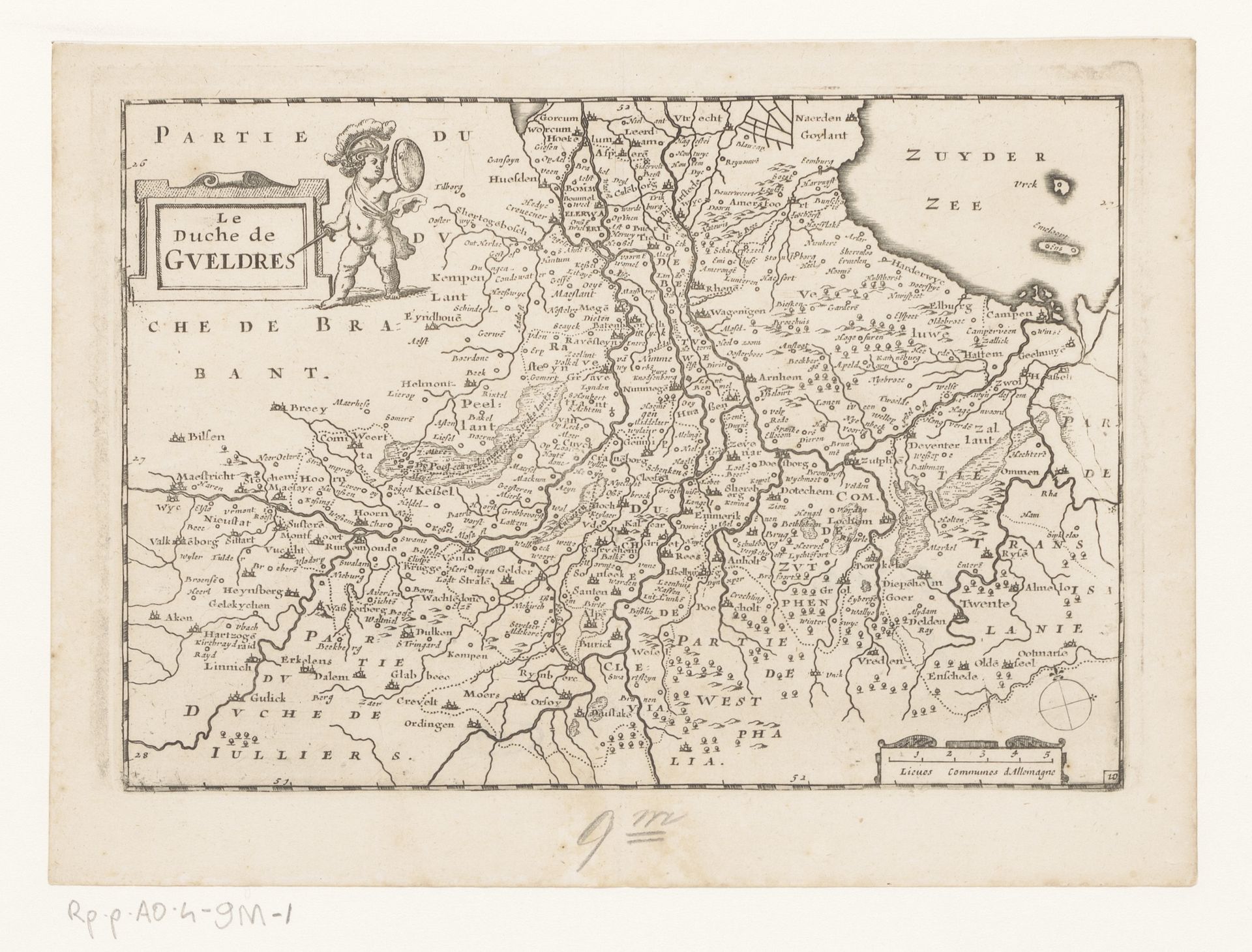
This is an anonymous map of Gelderland. Note the cherubic figure adorning the cartouche. He carries a shield, a symbol of protection, reminiscent of classical iconography. It harkens back to images of Cupid or Eros, often depicted with shields or weapons, symbols of love's power, resilience and defense against adversity. The shield, in this context, is not merely a defensive tool but a representation of the Duchy's strength and protection, a concept deeply embedded in the collective consciousness of the region. Throughout history, such motifs have resurfaced, evolving from religious and mythological contexts to secular and political emblems, thus engaging viewers on a deep, subconscious level. This symbol evolves, each time invoking a sense of security while also stirring primal emotions of fear and the need for protection.
Artwork details
- Medium
- print, engraving
- Dimensions
- height 155 mm, width 228 mm
- Location
- Rijksmuseum
- Copyright
- Rijks Museum: Open Domain
Tags
dutch-golden-age
landscape
geometric
engraving
Comments
No comments
About this artwork
This is an anonymous map of Gelderland. Note the cherubic figure adorning the cartouche. He carries a shield, a symbol of protection, reminiscent of classical iconography. It harkens back to images of Cupid or Eros, often depicted with shields or weapons, symbols of love's power, resilience and defense against adversity. The shield, in this context, is not merely a defensive tool but a representation of the Duchy's strength and protection, a concept deeply embedded in the collective consciousness of the region. Throughout history, such motifs have resurfaced, evolving from religious and mythological contexts to secular and political emblems, thus engaging viewers on a deep, subconscious level. This symbol evolves, each time invoking a sense of security while also stirring primal emotions of fear and the need for protection.
Comments
No comments