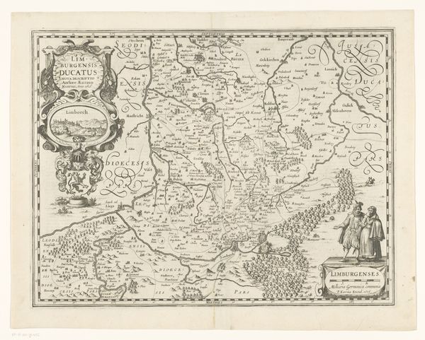
drawing, print, ink, engraving
#
drawing
#
baroque
# print
#
old engraving style
#
ink
#
engraving
Dimensions: height 156 mm, width 227 mm
Copyright: Rijks Museum: Open Domain
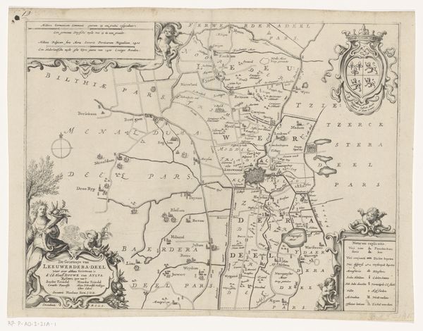
This map of the County of Zutphen was etched in ink by an anonymous artist. The process of etching involves coating a metal plate with a waxy, acid-resistant material, drawing into the material to expose the metal, and then bathing the plate in acid, which bites away at the exposed lines. The fine lines and details of this map indicate the etcher’s precision and control. Cartography was essential to European trade, military campaigns, and administration, as power expanded across the continent and into the world. The level of detail in the etching suggests the importance of accurate geographical representation for planning and decision-making. Yet there’s an artistry here, too. The image’s allegorical flourishes, such as the cherubic figure at the lower right, soften the severity of its purpose. It reminds us that even technical drawings are mediated by human hands, choices, and skill. The production of maps like this one depended on the collaboration between surveyors, draughtsmen, and etchers, each contributing their expertise to the final result. It demonstrates how artistry and utility are often intertwined, reflecting the values and priorities of the society that produced them.
Comments
No comments
Be the first to comment and join the conversation on the ultimate creative platform.
More like this