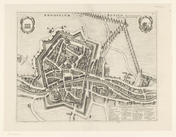
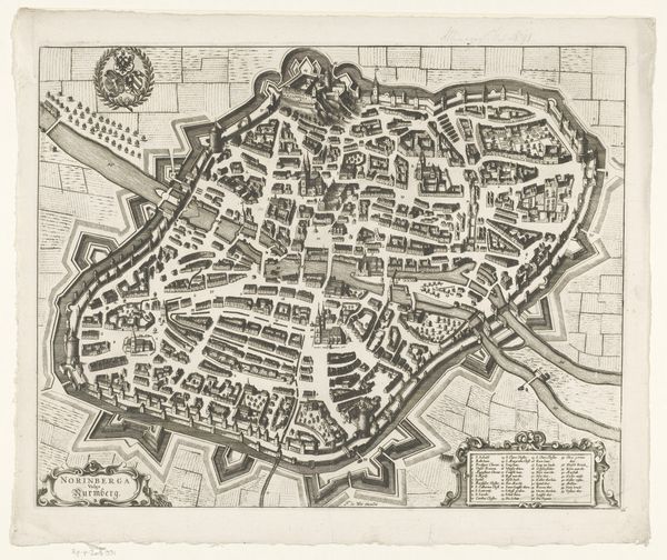
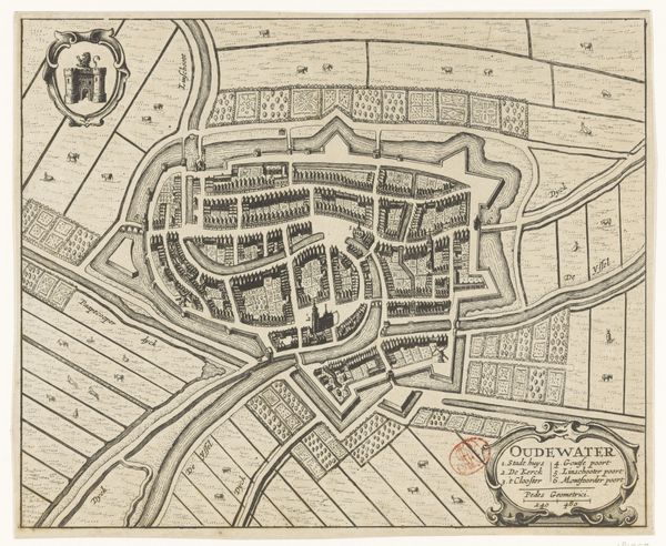
print, engraving
baroque
old engraving style
cityscape
engraving
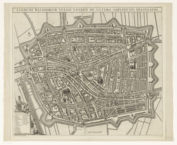
Dimensions: height 480 mm, width 608 mm
Copyright: Rijks Museum: Open Domain
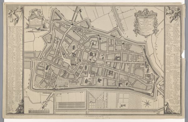
Editor: Here we have "Plattegrond van Leiden (deel linksboven)," a section of a map of Leiden, dating from after 1675, currently held in the Rijksmuseum. The detail is just incredible – all these tiny lines forming the city! I am intrigued to delve a little deeper, but I was curious to get your initial thoughts. How do you perceive this bird's eye view of the town? Curator: What a marvelous maze of lines! For me, old maps are like portals. We're looking not just at streets and buildings, but at a snapshot of how people saw their world then. Think about it – before Google Maps, this was how you navigated, how you understood your place in the world. And, I’d like to mention, it looks quite different than it does today. Editor: It certainly makes you think about that sense of place. How would one find their place? Curator: Indeed, and also consider Leiden in that era, the Baroque, a time of expansion and intricate detailing. The sharp angles of the fortifications jump out, doesn't it? Military engineering meets artistry. It speaks of both the power and the aspiration of the time. Editor: Yes, and this baroque style, where does it really come in? Curator: Well, you notice how ornate the cartouche is? Or how every detail seems to be painstakingly rendered? The baroque was not a spartan moment in European life, it's rich. Editor: Ah, that's fascinating, like an ancestor of urban planning, filtered through an artistic lens! I was focused on the practical side but thinking about artistic intention adds so much to the viewing experience. Curator: Exactly! It’s easy to see these as purely functional, but remember, someone chose what to include, how to represent it. History and art. Like holding a conversation with the past. What a treasure!
Comments
No comments
Be the first to comment and join the conversation on the ultimate creative platform.