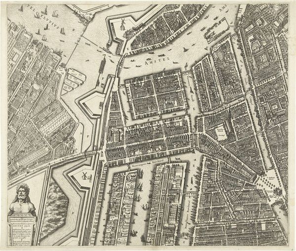
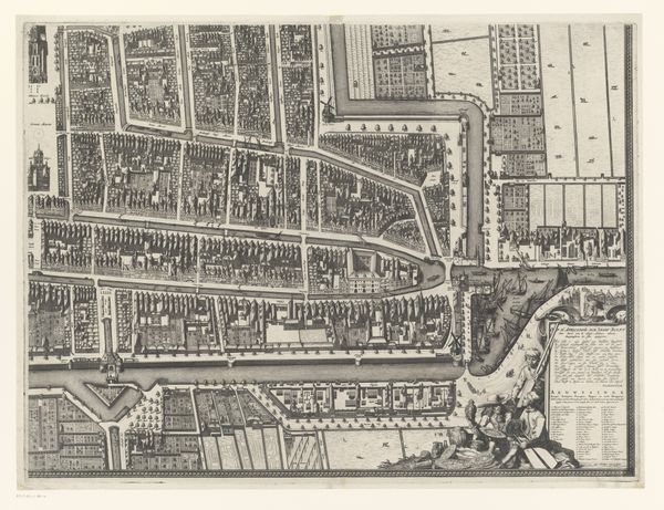
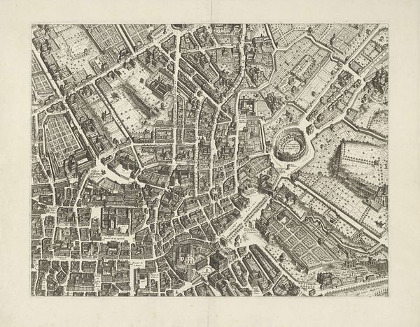
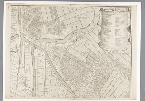
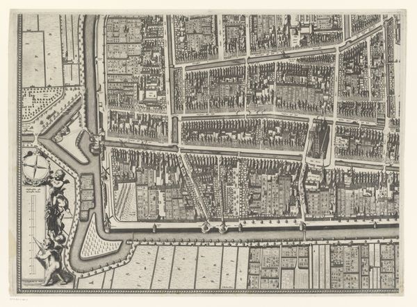
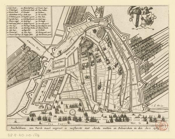
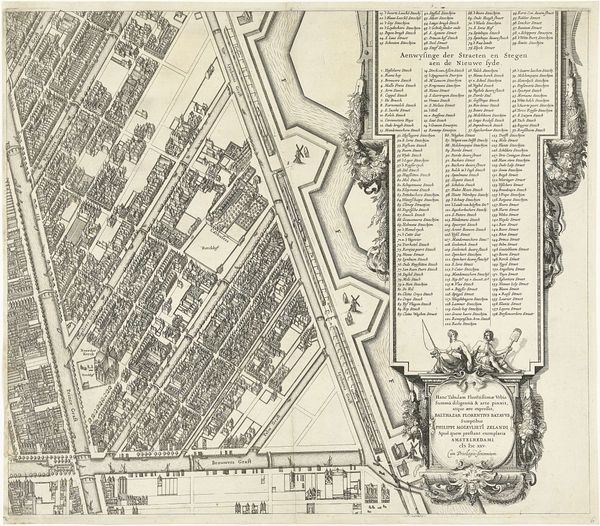
Plattegrond van Amsterdam (blad middenboven), 1625 1625
0:00
0:00
balthasarfloriszvanberckenrode
Rijksmuseum
drawing, print, engraving
#
drawing
#
dutch-golden-age
#
mechanical pen drawing
# print
#
pen sketch
#
old engraving style
#
personal sketchbook
#
linework heavy
#
sketchwork
#
geometric
#
pen-ink sketch
#
thin linework
#
line
#
pen work
#
sketchbook drawing
#
cityscape
#
engraving
Dimensions: height 458 mm, width 532 mm
Copyright: Rijks Museum: Open Domain
Art Historian: Editor: Editor: So, this is 'Plattegrond van Amsterdam', created in 1625 by Balthasar Florisz. van Berckenrode. It's a print, an engraving actually, of a map of Amsterdam. What strikes me most is just how meticulously detailed it is; almost geometric in its precision. What do you make of this piece, looking at it from a formalist perspective? Art Historian: Indeed. Its graphic precision is noteworthy. Let us observe the artist's treatment of line. Notice the consistently fine linework and how it delineates forms, giving structure to the whole. How do you perceive the relationship between line and form here? Editor: Well, the lines create both the boundaries and internal details. For example, you see the shapes of buildings defined, but also patterns suggesting brickwork or roof tiles. Everything's so interconnected through line... I suppose it almost feels like the lines are the forms themselves? Art Historian: Precisely. Consider also the compositional rhythm created by the arrangement of shapes. There's a certain order imposed upon the chaos of urban life, wouldn't you agree? Notice how the canals act as dominant linear elements, structuring the composition. Editor: Yes, the canals certainly impose order. They draw your eye, almost sectioning off areas of the city into geometric blocks. It gives a sense of how carefully planned the city was becoming at that time. I initially viewed it simply as informative. Art Historian: To reiterate, by observing this cartographic object we discover more than geographical representation. Its linework and form express order. It’s been enlightening examining the interplay between line and form within this city plan; how line generates form, which communicates more about the subject than previously understood.
Comments
No comments
Be the first to comment and join the conversation on the ultimate creative platform.
More like this