drawing, print, ink, pen
#
drawing
#
dutch-golden-age
# print
#
landscape
#
river
#
ink
#
pen
#
cityscape
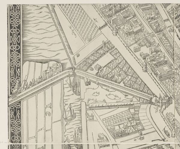
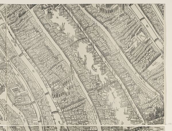
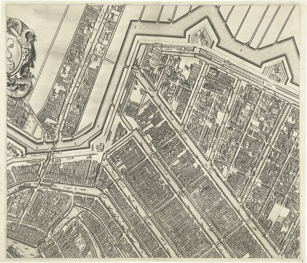
Dimensions: height 504 mm, width 1309 mm
Copyright: Rijks Museum: Open Domain
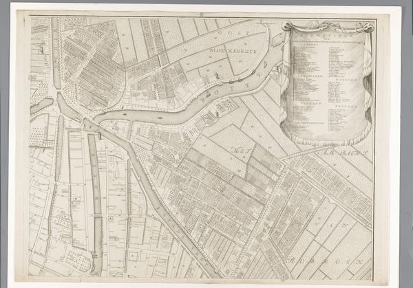
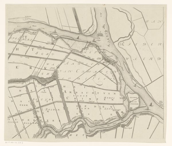
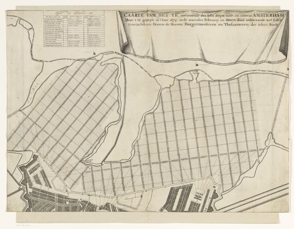
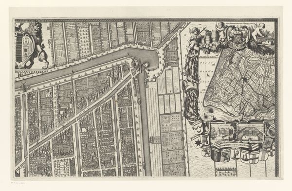
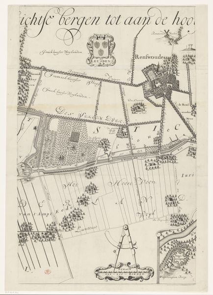
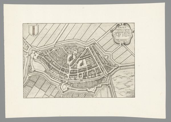
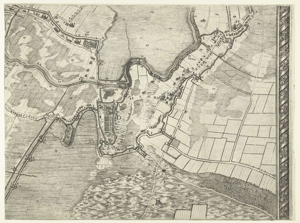
This is Bastiaen Stopendael's rendering of Amsterdam and the IJ, a detailed copper engraving of the city. Here we see an elaborate city plan, not just a guide for navigation, but a symbolic representation of control and order. Observe the grid-like structure of the water and land. This cartographic layout, resembling a spiderweb, evokes the ancient Roman practice of city planning. Such patterns are more than mere organization, as they reflect a deep human desire to impose structure upon the natural world. This echoes in Renaissance cityscapes and even in abstract art, where geometric forms create emotional resonance through their associations with order and rationality. It is a recurring visual language across epochs. The compass, prominently displayed, isn't just for direction; it is a potent symbol of exploration, ambition, and man’s quest for knowledge. It speaks to our collective memory of daring voyages and the psychological yearning to chart the unknown, revealing how cartography transcends mere utility, touching upon profound, subconscious desires to understand and conquer our world.
Comments
No comments
Be the first to comment and join the conversation on the ultimate creative platform.
More like this