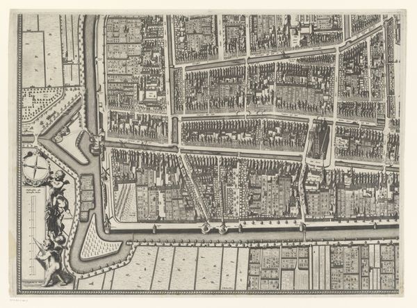
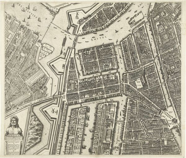
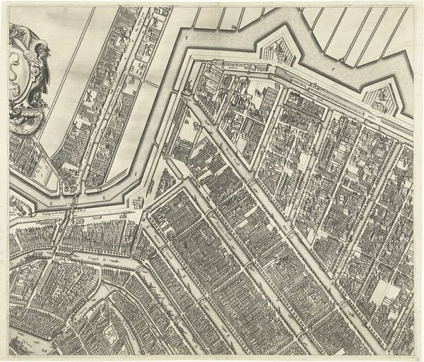
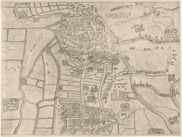
Plattegrond van de Kaart Figuratief van Delft (deel rechtsonder) 1678 - 1752
0:00
0:00
johannesderam
Rijksmuseum
graphic-art, print, engraving
#
graphic-art
#
dutch-golden-age
# print
#
line
#
cityscape
#
engraving
Dimensions: height 470 mm, width 629 mm
Copyright: Rijks Museum: Open Domain
This is Johannes de Ram's "Plattegrond van de Kaart Figuratief van Delft", an engraving made in the late 17th century. This detailed map of Delft isn't merely a navigational tool; it's a symbolic representation of order and control. Consider the gridded layout of the city, it evokes the Roman practice of urban planning, mirroring the structured Roman camps and cities. This grid symbolizes dominance over the landscape, a triumph of human reason over nature's chaos. However, this rigid structure also hints at a deeper, perhaps subconscious, desire for security. The visual elements are carefully planned out, evoking the historical and cultural significance of order, resembling similar motifs found in Renaissance art. The layout and the act of mapping are symbolic, echoing themes of dominion and understanding. Just as the Roman Empire imposed its order, Delft, through this map, asserts its presence. The underlying emotional current reveals the complex ways humans interact with their environment, forever oscillating between control and submission, order and chaos.
Comments
No comments
Be the first to comment and join the conversation on the ultimate creative platform.
More like this