About this artwork
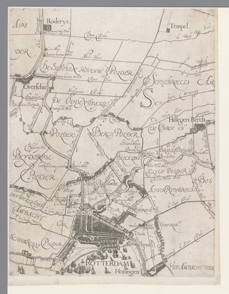
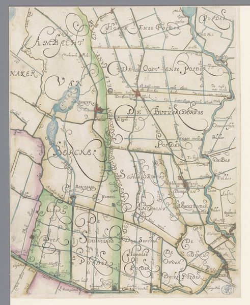
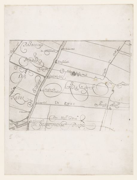
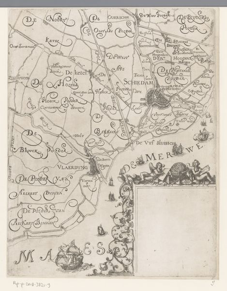
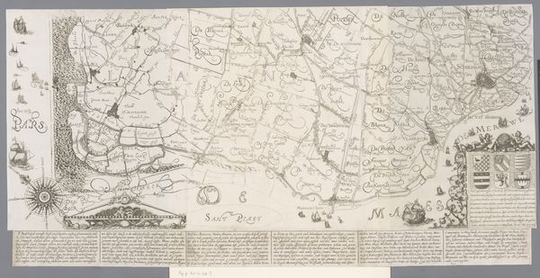
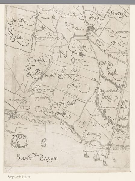
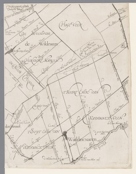
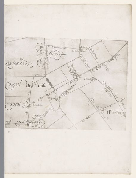
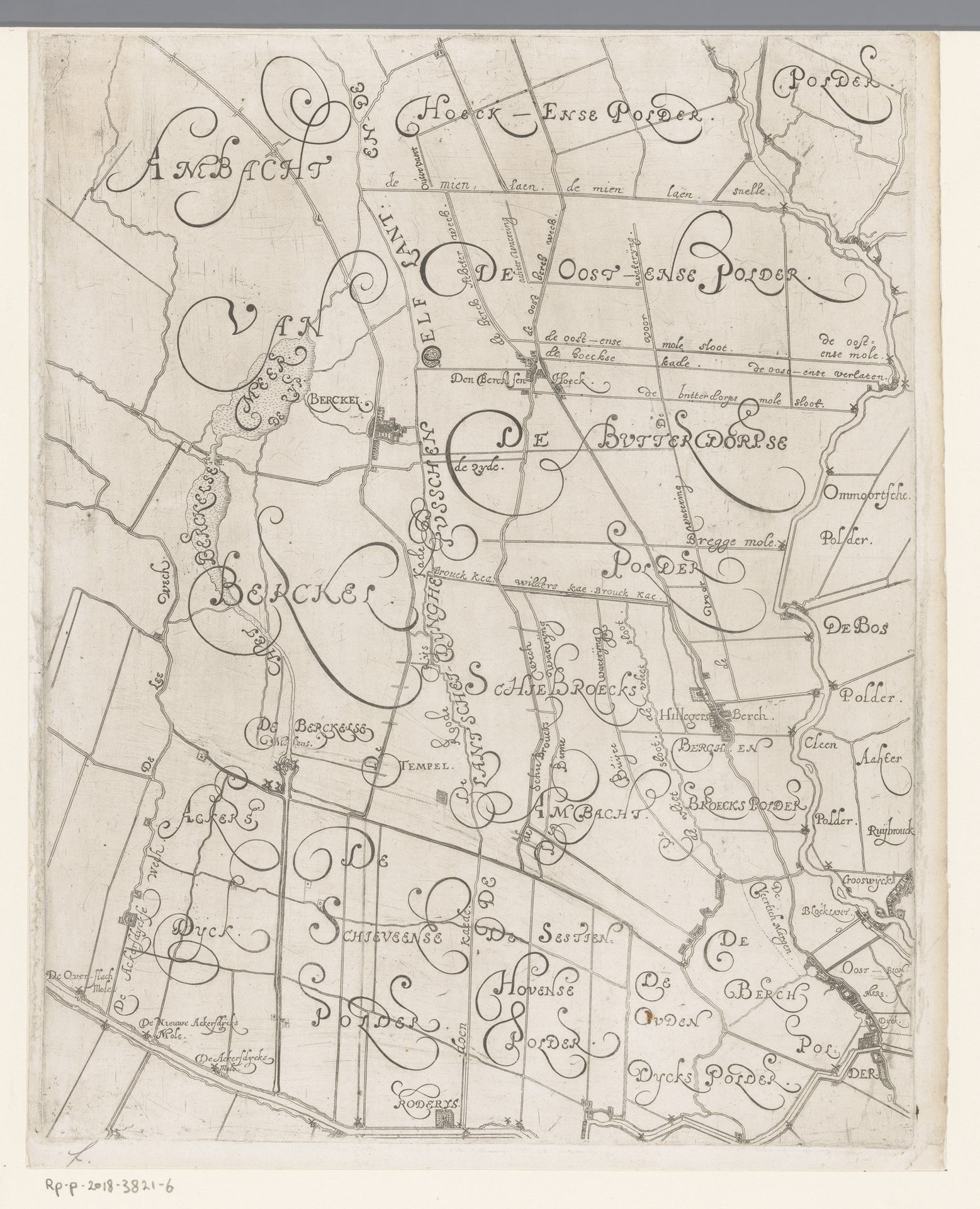
This is a map of the Delfland region, including Berkel en Rodenrijs, created by Floris Balthasarsz van Berckenrode in the late 16th or early 17th century. Notice the elaborate script used to denote place names, sprawling across the landscape like the rivers and canals it represents. The typography here isn't merely functional; it's a symbolic representation of the land itself. The swirling letters evoke the flow of water, the curves and lines mirroring the dynamic interplay between land and water that defines this Dutch landscape. Think of the serpent, a symbol that has wound its way through countless cultures, often representing primal energy, the subconscious, and the cyclical nature of life and death. The map is a microcosm of the world, reflecting both our conscious attempts to order and control nature, and the underlying, chaotic forces that continue to shape our existence. The act of mapping, like myth-making, attempts to impose a narrative, but the land, like the subconscious, always retains an element of the unknown, a space for the symbolic to seep through. We find echoes of this struggle in every age, as we grapple with understanding our place within the grand tapestry of existence.
Kaart van het Hoogheemraadschap van Delfland, met Berkel en Rodenrijs, deel midden rechts 1611 - 1692
Floris Balthasarsz van Berckenrode
1562 - 1616Location
RijksmuseumArtwork details
- Medium
- drawing, print, paper, ink
- Dimensions
- height 383 mm, width 300 mm
- Location
- Rijksmuseum
- Copyright
- Rijks Museum: Open Domain
Tags
drawing
dutch-golden-age
landscape
paper
ink
geometric
Comments
No comments
About this artwork
This is a map of the Delfland region, including Berkel en Rodenrijs, created by Floris Balthasarsz van Berckenrode in the late 16th or early 17th century. Notice the elaborate script used to denote place names, sprawling across the landscape like the rivers and canals it represents. The typography here isn't merely functional; it's a symbolic representation of the land itself. The swirling letters evoke the flow of water, the curves and lines mirroring the dynamic interplay between land and water that defines this Dutch landscape. Think of the serpent, a symbol that has wound its way through countless cultures, often representing primal energy, the subconscious, and the cyclical nature of life and death. The map is a microcosm of the world, reflecting both our conscious attempts to order and control nature, and the underlying, chaotic forces that continue to shape our existence. The act of mapping, like myth-making, attempts to impose a narrative, but the land, like the subconscious, always retains an element of the unknown, a space for the symbolic to seep through. We find echoes of this struggle in every age, as we grapple with understanding our place within the grand tapestry of existence.
Comments
No comments