About this artwork
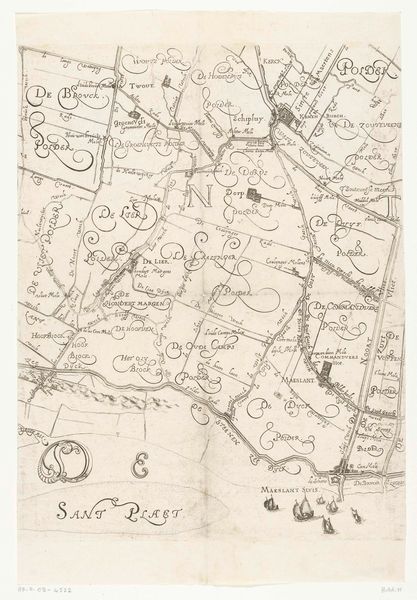
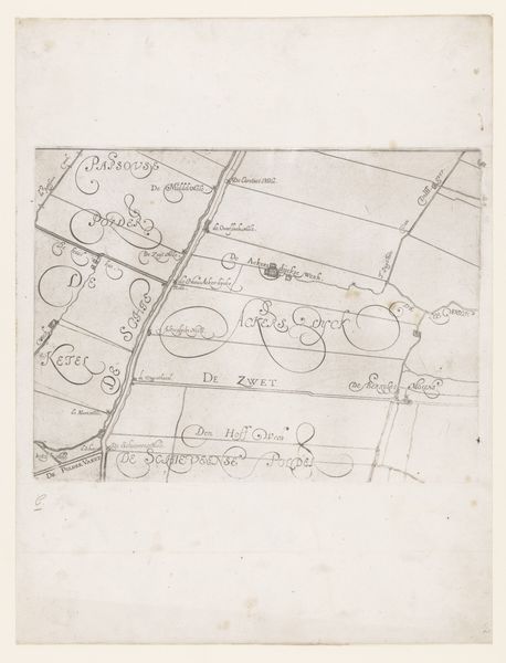
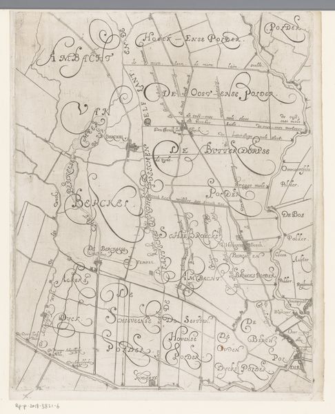
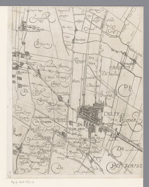
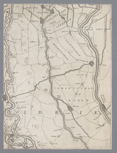
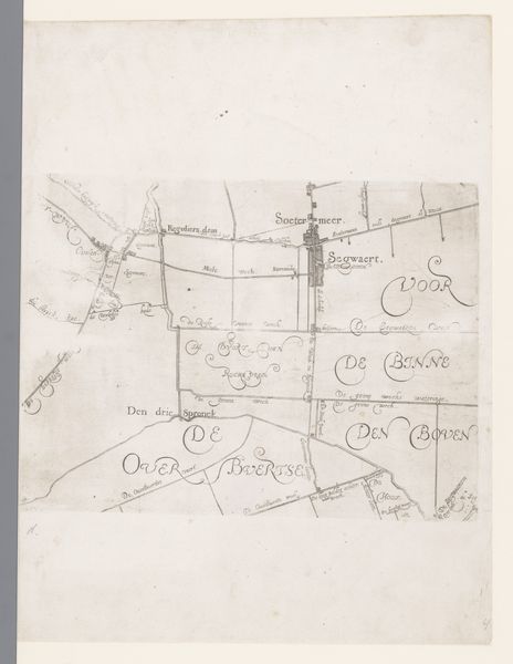
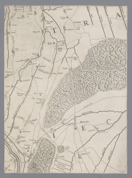
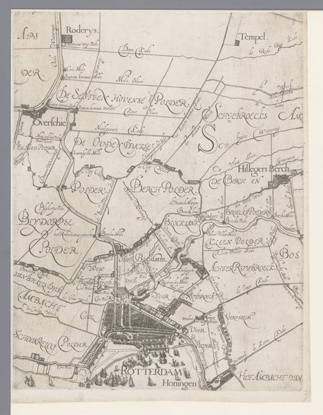
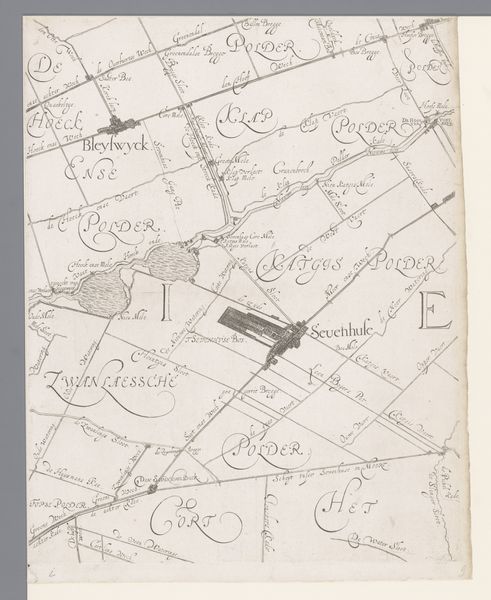
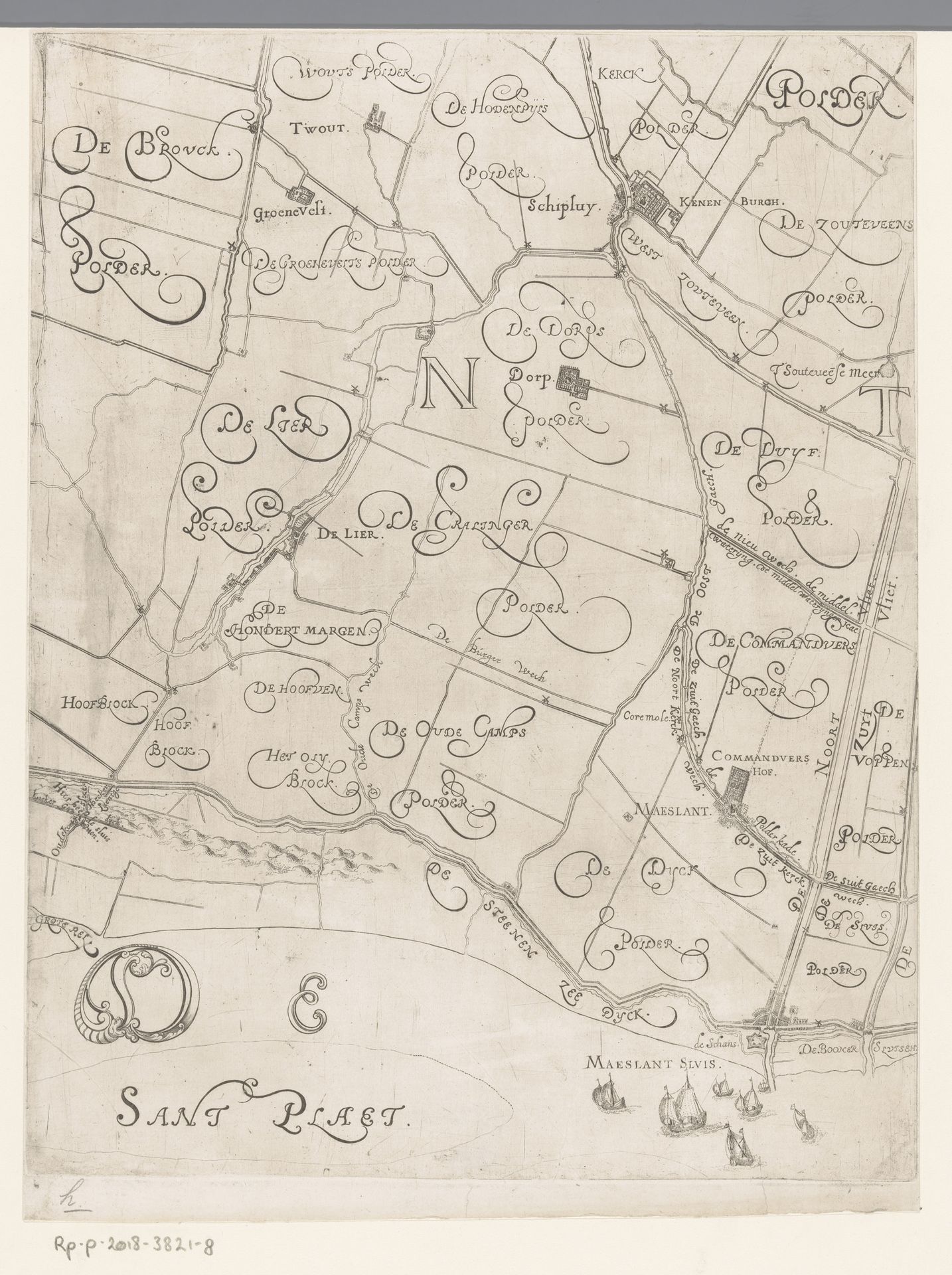
Editor: This is a section of "Kaart van het Hoogheemraadschap van Delfland, met Schipluiden en Maasland", made between 1611 and 1692 by Floris Balthasarsz van Berckenrode, a Dutch Golden Age drawing using ink. The intricate details are amazing, but I'm curious about how it functions as a work of art. What can you tell me about its purpose and creation? Curator: Well, consider the materiality of this map. It's not simply a representation of land; it's a document deeply intertwined with labor, resource management, and the social power structures of the Dutch Republic. Editor: In what way? Curator: Think about the physical process of creating this map. Surveying the land required skilled labor. Transferring those measurements to paper, meticulously rendering each polder and waterway in ink, was painstaking work. These are not simply abstract lines. This process embodies the exploitation and capital involved in the dutch landscape. This whole procedure demonstrates control of water systems. It allowed control over resources and trade which resulted in accumulation of vast wealth. What impact did all this landscape management have, do you think, on communities or social change? Editor: So, understanding the means of production allows us to examine not only art but broader questions related to economics and societal structures, rather than focusing solely on aesthetic or artistic values. It seems less about the land itself and more about control. Curator: Precisely. Consider how these polders—carefully drained and managed lands—were directly tied to wealth creation. What appears to be a neutral depiction of geography is, in fact, an endorsement of Dutch enterprise, colonial endeavors, and emerging capitalistic systems. This challenges us to question who benefited from all of this labor and technology and on whose labor the prosperity of Delfland rested? Editor: I see how considering material realities and process brings new dimensions to understanding this work beyond just its visual appeal. Thank you for illuminating the links to materiality, economy, labor and historical context. Curator: It allows us to investigate broader questions. My pleasure.
Kaart van het Hoogheemraadschap van Delfland, met Schipluiden en Maasland, deel midden onder 1611 - 1692
Floris Balthasarsz van Berckenrode
1562 - 1616Location
RijksmuseumArtwork details
- Medium
- drawing, print, ink
- Dimensions
- height 382 mm, width 312 mm
- Location
- Rijksmuseum
- Copyright
- Rijks Museum: Open Domain
Tags
drawing
dutch-golden-age
landscape
ink
geometric
regionalism
Comments
No comments
About this artwork
Editor: This is a section of "Kaart van het Hoogheemraadschap van Delfland, met Schipluiden en Maasland", made between 1611 and 1692 by Floris Balthasarsz van Berckenrode, a Dutch Golden Age drawing using ink. The intricate details are amazing, but I'm curious about how it functions as a work of art. What can you tell me about its purpose and creation? Curator: Well, consider the materiality of this map. It's not simply a representation of land; it's a document deeply intertwined with labor, resource management, and the social power structures of the Dutch Republic. Editor: In what way? Curator: Think about the physical process of creating this map. Surveying the land required skilled labor. Transferring those measurements to paper, meticulously rendering each polder and waterway in ink, was painstaking work. These are not simply abstract lines. This process embodies the exploitation and capital involved in the dutch landscape. This whole procedure demonstrates control of water systems. It allowed control over resources and trade which resulted in accumulation of vast wealth. What impact did all this landscape management have, do you think, on communities or social change? Editor: So, understanding the means of production allows us to examine not only art but broader questions related to economics and societal structures, rather than focusing solely on aesthetic or artistic values. It seems less about the land itself and more about control. Curator: Precisely. Consider how these polders—carefully drained and managed lands—were directly tied to wealth creation. What appears to be a neutral depiction of geography is, in fact, an endorsement of Dutch enterprise, colonial endeavors, and emerging capitalistic systems. This challenges us to question who benefited from all of this labor and technology and on whose labor the prosperity of Delfland rested? Editor: I see how considering material realities and process brings new dimensions to understanding this work beyond just its visual appeal. Thank you for illuminating the links to materiality, economy, labor and historical context. Curator: It allows us to investigate broader questions. My pleasure.
Comments
No comments