print, etching, engraving
# print
#
etching
#
landscape
#
etching
#
engraving
Dimensions: height 603 mm, width 1176 mm
Copyright: Rijks Museum: Open Domain
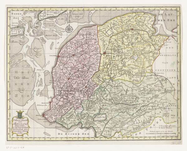
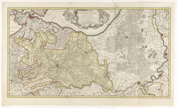
This map depicts the Zevenwouden quarter, its creation driven by a need to delineate territory. The map's ornamental cartouche features rampant lions and foliage, symbols deeply rooted in heraldic tradition. But let us delve into the lion motif, a symbol resonant across epochs. From ancient Mesopotamia, where lions represented royal power, to their adoption in medieval European heraldry, the lion has morphed in meaning yet retained its essence of strength. These lions, flanking the Zevenwouden name, serve not just as decoration but as a primal assertion of control. The map taps into a collective memory, resonating with subconscious desires for order and dominance, a cultural artifact revealing how symbols evolve, adapt, and persist, echoing through the corridors of time.
Comments
No comments
Be the first to comment and join the conversation on the ultimate creative platform.
More like this