print, etching
#
baroque
# print
#
etching
#
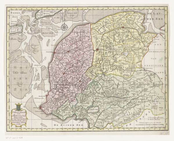
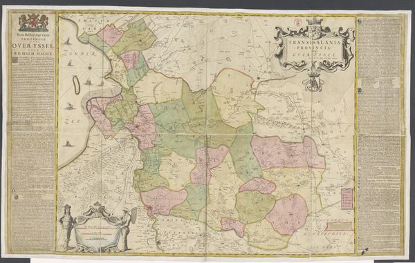
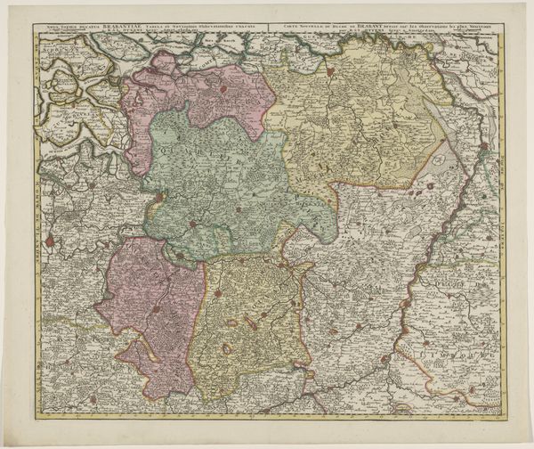
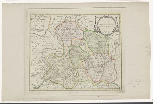
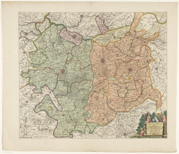
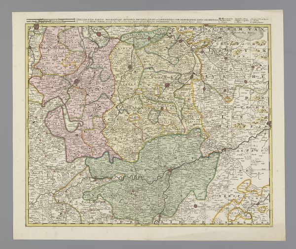
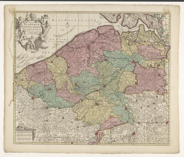
landscape
#
etching
#
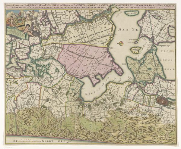
cityscape
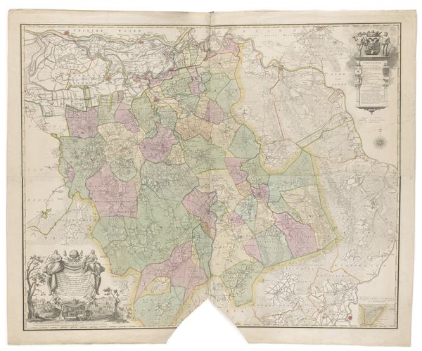
Dimensions: height 664 mm, width 844 mm
Copyright: Rijks Museum: Open Domain
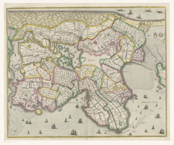
This is an anonymous map of Oostergo, created without a known date and origin, inviting us to consider its historical context. Oostergo, one of the historical quarters of Friesland, reflects a society deeply rooted in regional identity and autonomy. This map is not just a geographical tool; it is a cultural artifact that embodies the intricate power structures and local governance systems of its time. Without a named cartographer, it stands as a collective representation, possibly commissioned by local authorities or guilds, underscoring the communal nature of knowledge and governance in this region. The detailed delineation of territories and boundaries speaks to the importance of land ownership and administration in shaping the social fabric. Consider how maps like these were instrumental in establishing control and defining identities, reflecting both a practical need for navigation and a symbolic assertion of power. It serves as a reminder of the past and an invitation to reflect on how we map our world today.
Comments
No comments
Be the first to comment and join the conversation on the ultimate creative platform.
More like this