graphic-art, print, etching, engraving
#
graphic-art
#
dutch-golden-age
# print
#
etching
#
old engraving style
#
landscape
#
etching
#
engraving
Dimensions: height 220 mm, width 264 mm
Copyright: Rijks Museum: Open Domain
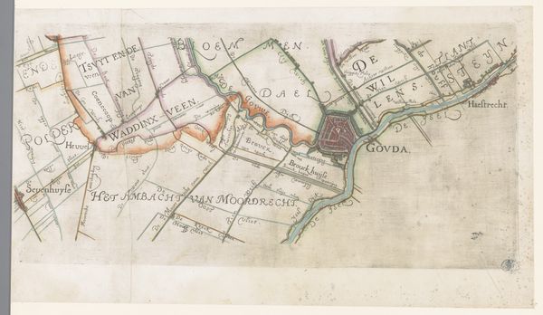
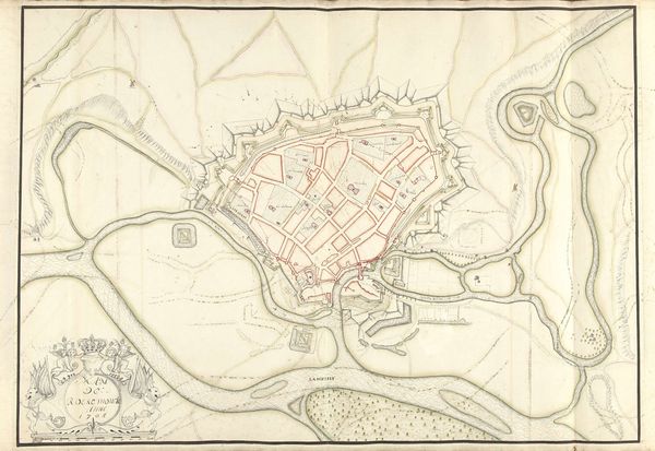
This is Anna Catharina Brouwer's map of Schieland and Krimpenerwaard. It's a delicate drawing of a specific place, yet also a window into larger ideas. Notice the compass rose, a symbol that extends far beyond simple navigation. Historically, the compass rose has been a complex emblem of orientation, destiny, and divine guidance. In medieval times, it was not merely a tool for sailors; it echoed humanity's quest for understanding our place in the cosmos. This rose, like the ancient mariner's lodestar, links this regional map to the grand narrative of human exploration. It suggests a deeper psychological need to chart our own course, both geographically and existentially. In other art forms and times, we see echoes of this longing for direction—the compass rose might evolve into something like a lighthouse in a painting, guiding lost souls, or even a complex geometric pattern promising cosmic understanding. So, we find that even a simple map becomes an eloquent statement about our timeless quest for meaning.
Comments
No comments
Be the first to comment and join the conversation on the ultimate creative platform.
More like this