print, etching, engraving
#
baroque
# print
#
etching
#
old engraving style
#
landscape
#
etching
#
history-painting
#
engraving
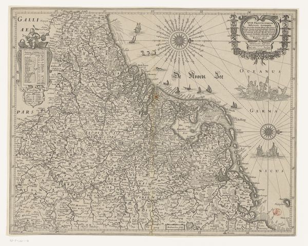
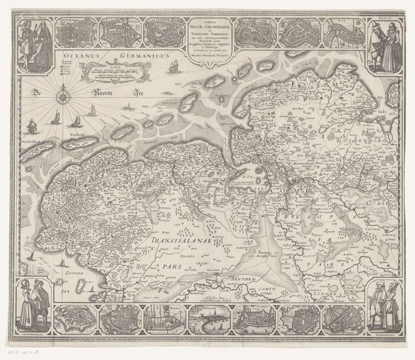
Dimensions: height 336 mm, width 430 mm
Copyright: Rijks Museum: Open Domain
Otto Lindeman’s map of the Kingdom of Israel was made in 1758 using etching and engraving. In the 18th century, the production and circulation of maps like this one were tied to European colonial expansion and the desire to document and control distant lands. But the depiction of the Kingdom of Israel as a historical entity also speaks to the enduring influence of religious narratives in European culture. We see this in the detailed representation of biblical locations and the inclusion of scenes from the Old Testament in the map's decorative elements. The map reflects the cultural and intellectual climate of the Enlightenment, which emphasized reason and empirical observation. Yet it also reveals the ways in which religious beliefs and colonial ambitions shaped the European worldview. Understanding such a map requires us to look at its production, circulation, and reception, tracing its connections to broader social, political, and intellectual currents. Researching historical cartography, religious history, and colonial studies could help us understand it better.
Comments
No comments
Be the first to comment and join the conversation on the ultimate creative platform.
More like this