graphic-art, print, engraving
#
graphic-art
#
natural stone pattern
#
rippled sketch texture
#
aged paper
#
naturalistic pattern
#
baroque
# print
#
old engraving style
#
landscape
#
wood background
#
tea stained
#
natural palette
#
layered pattern
#
engraving
#
botanical art
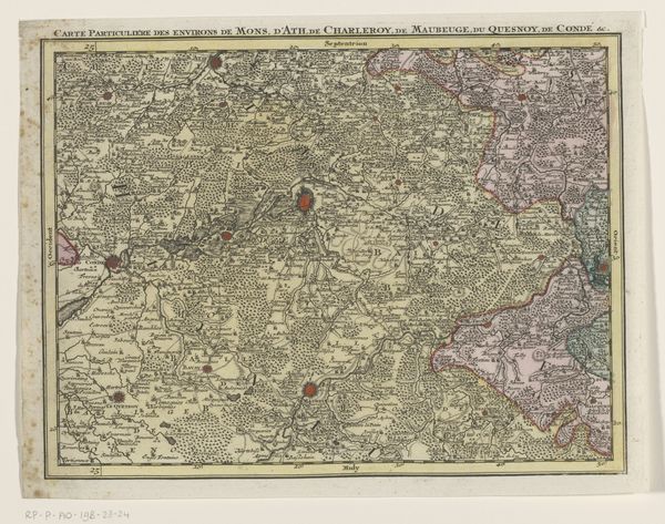
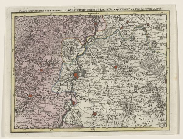
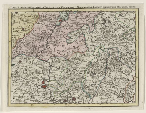
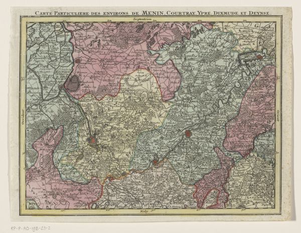
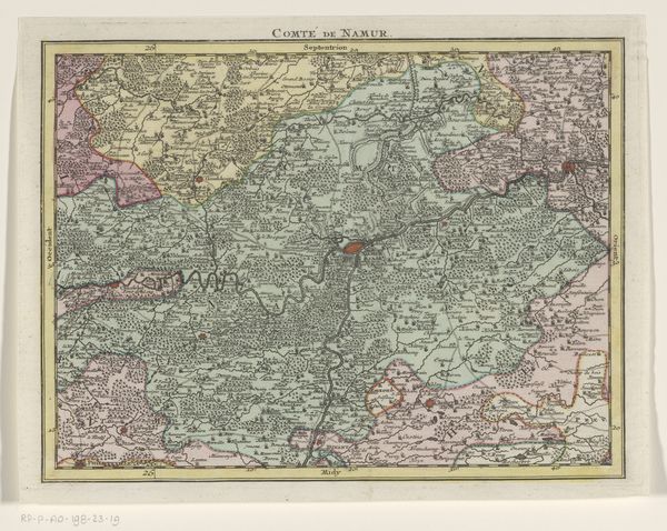
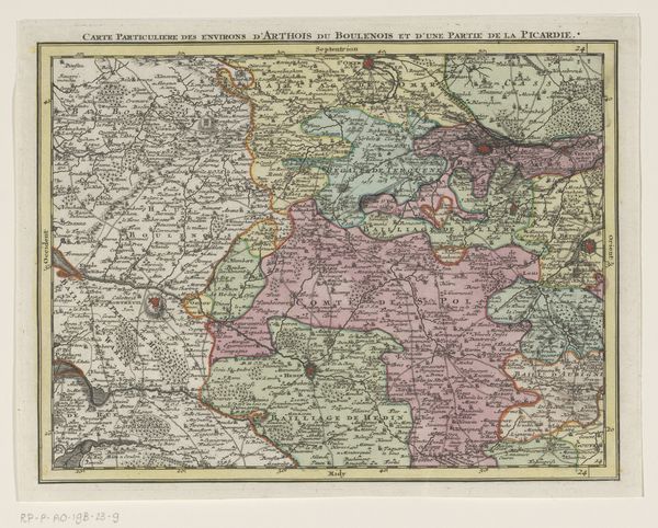
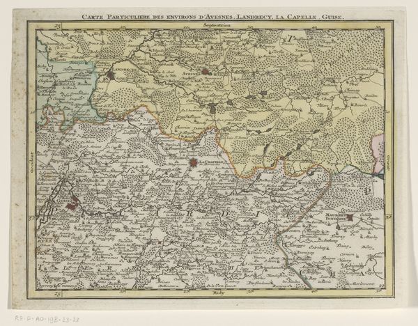
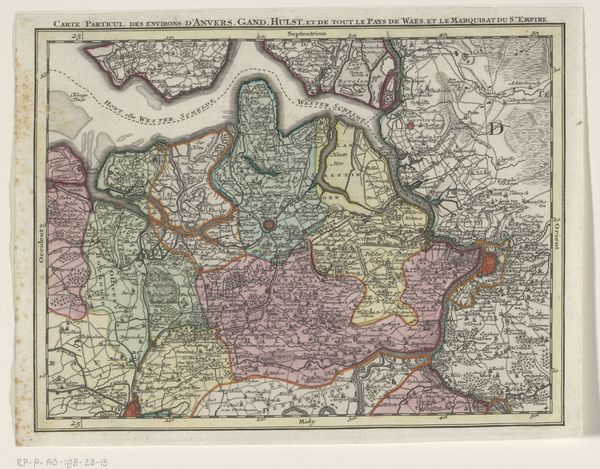
Dimensions: height 204 mm, width 271 mm
Copyright: Rijks Museum: Open Domain
Tobias Conrad Lotter rendered this map of the Austrian Netherlands, capturing a fragment of the earth's surface with ink and color. The map, a symbolic representation of territory, echoes humanity's enduring quest to order and control the world. Note how the landscape is rendered, not merely as a neutral space, but imbued with signs of human presence: cities marked by clusters of buildings, roads etched like veins across the land, and forests stippled with countless trees. These elements are like the recurring motifs in a dream, symbols of power, connection, and nature, shaping the collective memory of a place. Consider the act of mapping itself, mirroring the ancient impulse to chart the heavens and the underworld, reflecting our innate need to understand our place in the cosmos. The map is not just a tool, but a mirror, reflecting our desires, fears, and the indelible mark we leave on the world. Its power engages us at a subconscious level, where the ordered world collides with the intangible realm of human experience.
Comments
No comments
Be the first to comment and join the conversation on the ultimate creative platform.
More like this