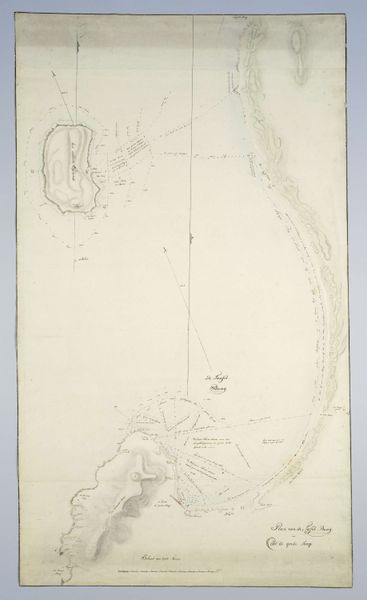
Dimensions: , , height 580 mm, width 1015 mm
Copyright: Rijks Museum: Open Domain
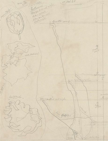
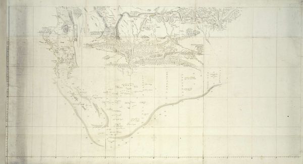
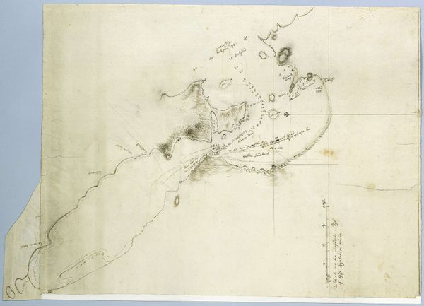
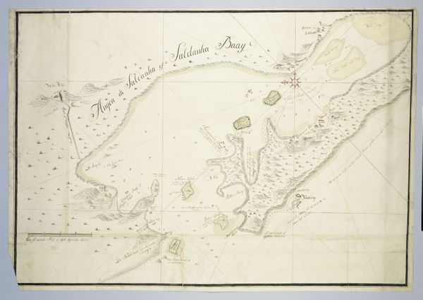
This map of False Bay and the Cape Peninsula was sketched in December 1790 by Robert Jacob Gordon. It uses a delicate combination of ink and wash to articulate both geographic features and detailed annotations. The interplay between open space and concentrated detail draws the eye across the landscape, guided by the implied lines of sight and navigation. The structure of the map is divided into the real—landforms, coastlines, and built structures—and the abstract—lines of longitude and written script. Gordon blurs the lines between objective representation and subjective interpretation; the cartographic precision juxtaposed with artistic freedom destabilizes the notion of a singular, authoritative perspective. The meticulous inscriptions act as a semiotic key, decoding the visual grammar. The formal contrast between measured space and fluid representation underscores the act of mapping not merely as a technical exercise, but as a cultural interpretation of space, inviting us to consider how perception and power intersect in the colonial context.
Comments
No comments
Be the first to comment and join the conversation on the ultimate creative platform.
More like this