drawing, print, ink, pen
#
drawing
#
comic strip sketch
#
quirky sketch
# print
#
landscape
#
personal sketchbook
#
ink
#
idea generation sketch
#
sketchwork
#
ink drawing experimentation
#
pen-ink sketch
#
sketchbook drawing
#
pen
#
storyboard and sketchbook work
#
sketchbook art
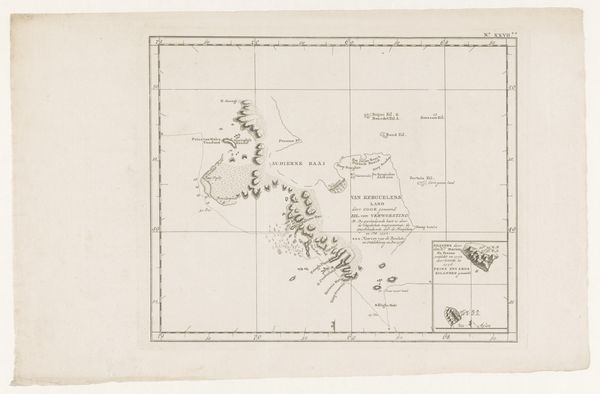
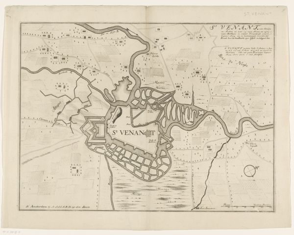
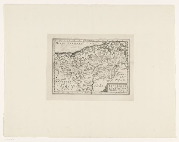
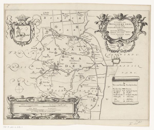
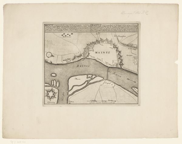
Dimensions: height 229 mm, width 385 mm
Copyright: Rijks Museum: Open Domain
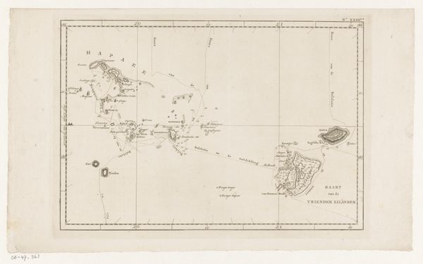
Editor: Here we have an intriguing piece titled "Kaart van de kust van het eiland Tongatapu in de Grote Oceaan," created in 1801, using pen and ink, resulting in a detailed print. What strikes me most is the precision of the lines, which seem almost industrial in their accuracy. What's your take on this work? Curator: This work exemplifies how the means of production intertwine with knowledge and power. The pen and ink are tools, yes, but their application represents a colonial project of mapping, surveying, and ultimately, controlling territory. Consider the labor involved, not just the hand of the cartographer but the indigenous knowledge they extracted, perhaps coercively. Editor: That’s fascinating! So you’re saying that even something seemingly objective like a map is laden with social dynamics? Curator: Precisely. The very act of charting the coast becomes a form of possession. The material used—ink and paper—speak to global trade networks of the era and the flow of resources from the colony to the colonizer. Whose paper was this drawn on? Where did that ink come from? These questions shift our focus to the means and motives behind its creation. Look at how meticulously the coastline is rendered. What natural resources were they seeking? What were they extracting? Editor: So it's not just a map, it's a record of resource extraction, potentially. Thinking about the materials really reframes my understanding of its purpose. Curator: Exactly. We should consider the map's function within a broader system of material exchange. The map itself facilitates further exploitation, directing ships, enabling trade (or plunder), and consolidating colonial power. It isn't neutral. Editor: I never would have considered that just looking at it at first. Thanks for the insight! Curator: My pleasure!
Comments
No comments
Be the first to comment and join the conversation on the ultimate creative platform.
More like this