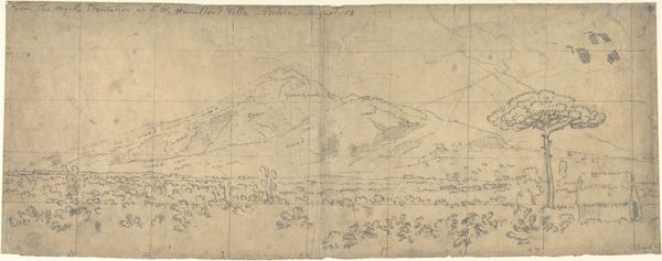
drawing, paper, pencil
#
drawing
#
pencil sketch
#
landscape
#
paper
#
pencil
#
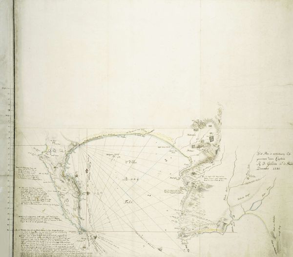
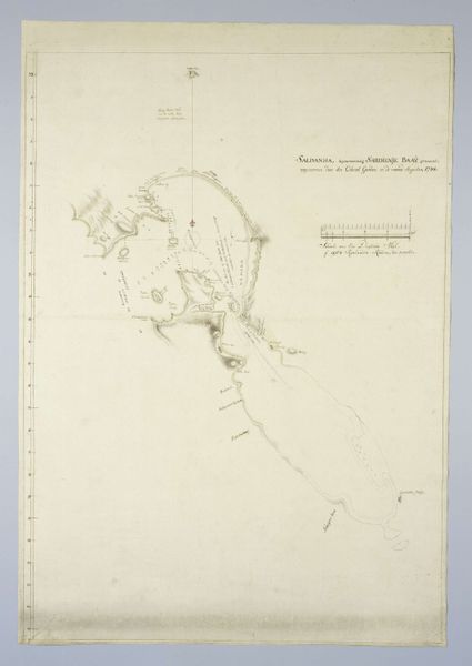
watercolor
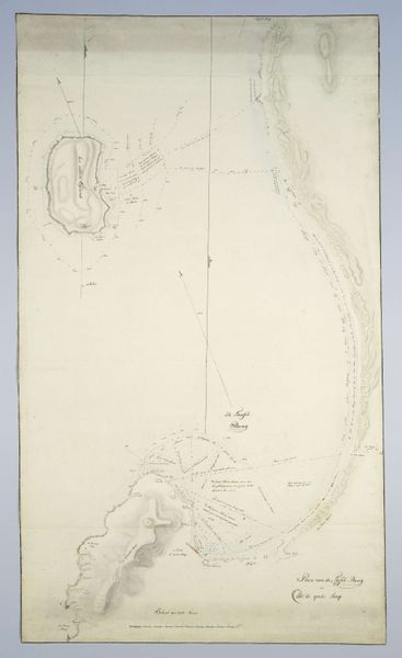
Dimensions: height 730 mm, width 510 mm
Copyright: Rijks Museum: Open Domain
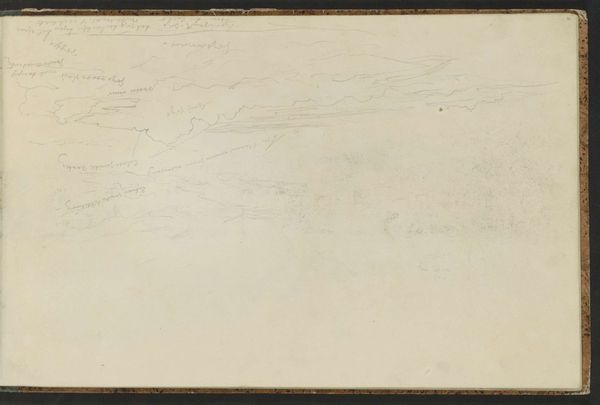
Curator: It's extraordinary to observe how Robert Jacob Gordon, circa 1784, captured Saldanha Bay in this map rendered in pencil and watercolor on paper. It speaks volumes about the intersection of art and exploration in that era. Editor: Yes, its subdued palette and delicate lines really convey a sense of calm precision, don't you think? The textures are almost tangible. Curator: Precisely! But beyond the aesthetics, this map holds profound historical significance. Gordon, a military commander in the Dutch East India Company, charted this bay at a pivotal moment in colonial history. His maps were not merely geographical tools, but instruments of power. Editor: I see what you mean. However, I’m immediately drawn to the careful layering of pencil to indicate depth and form, and how effectively a few faint washes delineate land and water. The map is functional, but its composition possesses an artistic elegance, even if it’s mostly utilitarian in purpose. Curator: Absolutely. And that duality is precisely what fascinates me. The visual language of cartography was strategically deployed to establish claims to territory and facilitate trade routes. Editor: Do you see the radial lines? They strike me as bold assertions of navigational accuracy, cutting through what must have been a perceived untamed space. They draw my eyes to the map's conceptual centre and hold the surrounding details within the map’s framework. Curator: True, and consider the use of vernacular language in labeling specific geographic points. Those names and markers became instruments for solidifying colonial control over space and history. Editor: Indeed, these lines, tones, and even that handwriting reveal more than just locations—they offer insight into the prevailing mindset about capturing territory. Curator: It also makes me think of the relationship between Europe and the colonies, the tension between documenting the world from a far removed point of view, as well as understanding the realities on the ground. Editor: In that regard, these faint lines and pale hues also feel less imposing. Perhaps their subtlety allowed viewers back then to better reconcile and normalize what would become significant changes in the cultural landscape. Curator: This drawing prompts us to reflect on our responsibility to understand the legacies of colonialism and the role that cartography, art, and culture play in constructing narratives of power and domination. Editor: And as we continue looking at it, may we consider these aesthetic choices and understand them in relation to the human need to map and tame our environment.
Comments
No comments
Be the first to comment and join the conversation on the ultimate creative platform.
More like this