print, engraving
#
aged paper
#
toned paper
#
baroque
# print
#
landscape
#
linocut print
#
history-painting
#
engraving
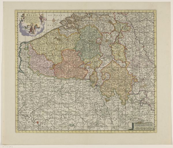
Dimensions: height 497 mm, width 595 mm
Copyright: Rijks Museum: Open Domain
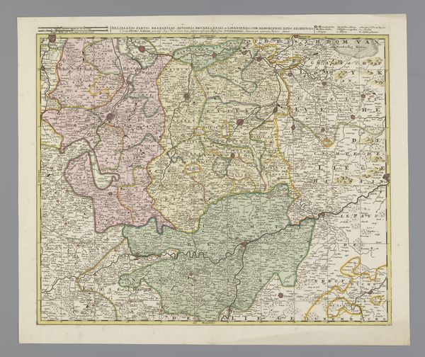
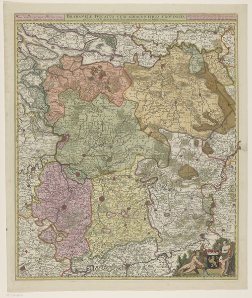
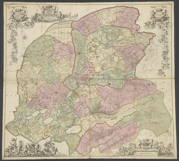
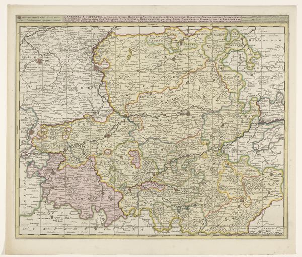
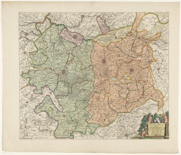
This map of the Duchy of Brabant, is an early example of information design, made by an anonymous maker. The printing is on paper, and the coloring was added afterward by hand. Consider the incredible labor involved in creating this map. Surveying the land, engraving the printing plates, and the repetitive action of the printing press. Each impression would have taken time and effort. The hand-coloring, too, would have been painstaking work. The materiality of the map also speaks to its purpose. Paper was a relatively accessible material, allowing for the wide distribution of information. The colored portions denote different regions, assisting the viewer’s understanding of the political landscape. The map’s lines and colors were carefully chosen to maximize clarity, showing that utility and beauty can coexist. Looking at this map, we can appreciate the blend of technical skill, artistic sensibility, and sheer human effort that went into its creation. It is a testament to the value of craft in all its forms, whether artistic or informational.
Comments
No comments
Be the first to comment and join the conversation on the ultimate creative platform.
More like this